Seaport · Philippines

BugoPHBUG

8.5167°, 124.7500°
23.2 m
Channel depth
15.0
Port liner connectivity

Channel & Berth Profile

SEA LEVEL (CD)CHANNEL BEDOil terminal · 7.9 mCargo pier · 9.4 mChannel · 23.2 mAnchorage · 23.2 m
NGA World Port Index

Pilotage, Tugs & Services

Pilotage compulsoryYES
Potable waterYES
MedicalYES
NGA World Port Index

Facilities & Capabilities

Container
Ro-Ro
Liquid bulk
Dry bulk
Oil terminal
Break bulk
Dry dock
RepairsNO
Bunkering
Rail link
Dangerous cargo
ISPS security
NGA World Port Index

Harbour Specifications

Harbour size
Very Small
NGA World Port Index
Harbour type
Coastal (Natural)
NGA World Port Index
Shelter
Good
NGA World Port Index
Water body
Bohol Sea; Philippine inland seas; North Pacific Ocean
NGA World Port Index
Tidal range
3 m
NGA World Port Index
Pilotage
Yes
NGA World Port Index

Liner Connectivity

15
PLSCI

Port Liner Shipping Connectivity Index for Bugo, as published by UNCTAD for the latest available quarter. Higher values indicate stronger scheduled liner-shipping integration.

Shown relative to the highest per-port PLSCI in the dataset (1,657.9).
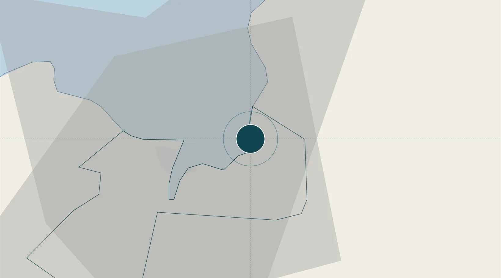
UNCTAD · Port Liner Shipping Connectivity Index

Location

Location of PHBUG
Natural Earth 10m (public domain) · Cagayan de Oro · PHBUG · 8.52, 124.75GoogleOSMYandex

Nearby Logistics Neighbours

Ports
  1. 1Villanueva8 km
  2. 2Cagayan De Oro9 km
  3. 3Gingoog52 km
  4. 4Iligan65 km
  5. 5Nasipit Port83 km
Nearest neighbours — logibook spatial index (haversine) over the source coordinates
Cities
  1. 1Tagoloan1 km
  2. 2Cagayan de Oro, Mindanao3 km
  3. 3Jasaan15 km
  4. 4Opol20 km
  5. 5Balingasag26 km
Nearest neighbours — logibook spatial index (haversine) over the source coordinates
Airports
  1. 1Laguindingan International Airport34 km
  2. 2Camiguin Airport82 km
  3. 3Bancasi Airport94 km
  4. 4Labo Airport107 km
  5. 5Dipolog Airport155 km
Nearest neighbours — logibook spatial index (haversine) over the source coordinates
Trade Zones
  1. 1Philippine Packing Agricultural Export Processing Zone1 km
  2. 2Phividec Industrial Estate-Economic Zone 2 km
  3. 3Fast Logistics Distribution Center3 km
  4. 4Alwana Business Park8 km
  5. 5Robinsons Cagayan de Oro11 km
Nearest neighbours — logibook spatial index (haversine) over the source coordinates
DatabookThe Record of Consolidated Knowledge
Philippines beyond logistics?
Browse databook

All Sources

Portsthe NGA World Port Index
Public domain (US gov)
Logistics performanceUNCTAD
CC BY 3.0 IGO
AirportsOurAirports
Public domain
LocationsUN/LOCODE
UN/LOCODE — free
Trade Zonesthe World Bank SEZ database
CC BY 4.0
Trade ZonesOpen Zone Map
CC BY
← Philippines ports