Free Trade Zone · China
Kuancheng Economic Development Zone Active
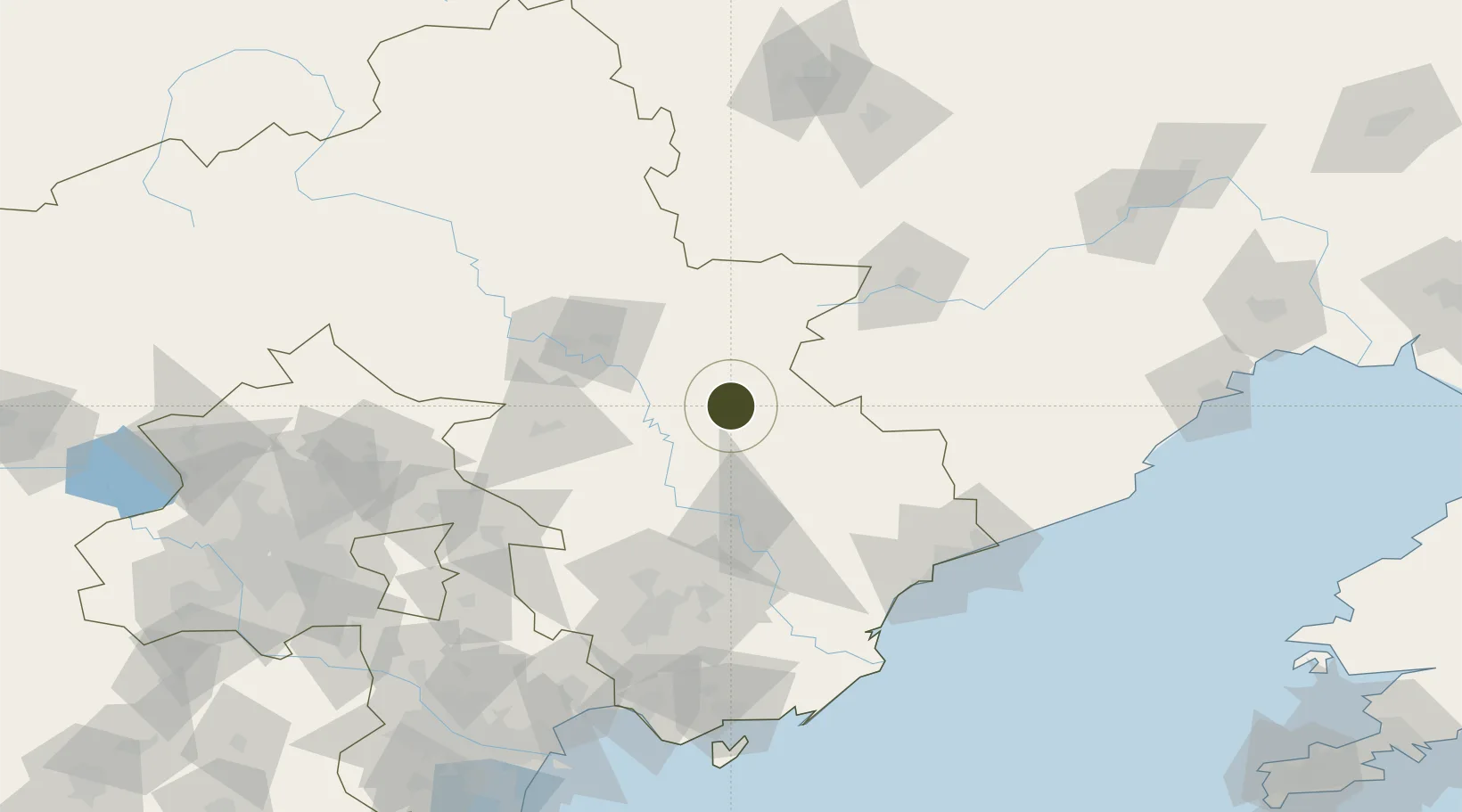
40.6533°, 118.5669°
415 ha
Zone area
119.7 km
Nearest port
29.0 km
Nearest airport
Gateway access
Zone profile
Zone type
Free Trade Zone
Region
Hebei
Status
Active
Management
Public
Operator
Management Committee of Kuancheng Economic Development Zone
Legal framework
Kuancheng Economic Development Zone, formerly known as Longcheng New Material Industrial Cluster, was approved as a provincial industrial cluster in May 2011. In March 2014, it was renamed As Hebei Kuancheng Economic Development Zone after unified standar
Location
Nearby Logistics Neighbours
Ports
- 1Qinhuangdao120 km
- 2Tangshan (Jingtang)166 km
- 3Tianjin Xin Gang198 km
- 4Huludao Gang204 km
- 5Jinzhou Wan214 km
Airports
- 1Pingquan Air Base29 km
- 2Chengde Puning Airport67 km
- 3Tangshan Zunhua Air Base84 km
- 4Tangshan Sannühe Airport115 km
- 5Qinhuangdao Beidaihe Airport118 km
Cities
- 1Chengde64 km
- 2Tangshan Pt118 km
- 3Qinhuangdao Pt122 km
- 4Pinggu136 km
- 5Yutai148 km
DatabookThe Record of Consolidated Knowledge
China beyond logistics?