Specialized Zone · Philippines

Bohol First Information Technology Centre Under Development
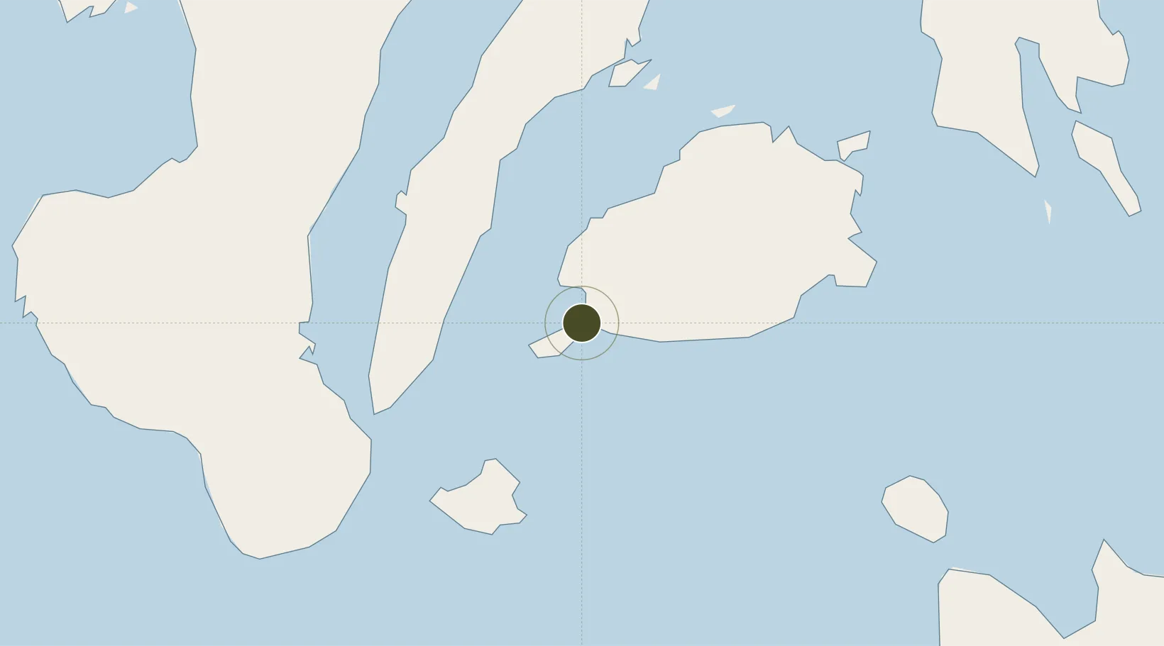
9.6439°, 123.8636°
0 ha
Zone area
1.6 km
Nearest port
12.9 km
Nearest airport

Gateway access

Nearest neighbours — logibook spatial index (haversine) over the source coordinates

Zone profile

Zone type
Specialized Zone
Open Zone Map
Specialization
IT
Open Zone Map
Region
Bohol
Open Zone Map
Status
Under Development
Open Zone Map
Management
Private
Open Zone Map
Operator
Bohol Business Ventures & Consultancy Inc.
Open Zone Map
Legal framework
Special Economic Zone Act (Republic Act No. 7916) (as amended by Republic Act No. 8748)
Open Zone Map

Location

Location of ozm-3368
Natural Earth 10m (public domain) · Bohol · ozm-3368 · 9.64, 123.86GoogleOSMYandex

Nearby Logistics Neighbours

Ports
  1. 1Tagbilaran2 km
  2. 2Tubigan36 km
  3. 3Lazi62 km
  4. 4Dumaguete72 km
  5. 5Cebu73 km
Nearest neighbours — logibook spatial index (haversine) over the source coordinates
Airports
  1. 1Bohol-Panglao International Airport13 km
  2. 2Sibulan Airport71 km
  3. 3Mactan Cebu International Airport75 km
  4. 4Camiguin Airport102 km
  5. 5Dipolog Airport129 km
Nearest neighbours — logibook spatial index (haversine) over the source coordinates
Cities
  1. 1Tubigon36 km
  2. 2Alcoy40 km
  3. 3Garcia Hernandez48 km
  4. 4Larena54 km
  5. 5Lazi64 km
Nearest neighbours — logibook spatial index (haversine) over the source coordinates
Trade Zones
  1. 1Alta Citta1 km
  2. 2Tagbilaran Uptown IT Hub1 km
  3. 3Island City Mall IT Building1 km
  4. 4Panglao Bluewater Economic Zone16 km
  5. 5Panglao Island Tourism Economic Zone16 km
Nearest neighbours — logibook spatial index (haversine) over the source coordinates
DatabookThe Record of Consolidated Knowledge
Philippines beyond logistics?
Browse databook

All Sources

Trade ZonesOpen Zone Map
CC BY
Portsthe NGA World Port Index
Public domain (US gov)
AirportsOurAirports
Public domain
LocationsUN/LOCODE
UN/LOCODE — free
← Philippines trade zones