UN/LOCODE hub · Philippines
PHGHE
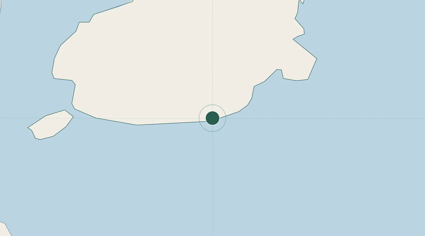
Garcia Hernandez
9.6167°, 124.3000°
2,643
Population
1
Transport functions
Transport Functions
Port
Hub Profile
Place type
Populated place
Region
Central Visayas
Population
2,643
Time zone
Asia/Manila
Elevation
2 m
Location
Nearby Logistics Neighbours
Cities
- 1Tubigon52 km
- 2Talibon58 km
- 3Mactan Island Apt83 km
- 4Lapu-Lapu, Cebu87 km
- 5Cebu88 km
Ports
- 1Tagbilaran50 km
- 2Tubigan52 km
- 3Maasin82 km
- 4Cebu88 km
- 5Lazi91 km
Airports
Trade Zones
DatabookThe Record of Consolidated Knowledge
Philippines beyond logistics?