Transport Functions
Port
Road
Hub Profile
Place type
District seat
Region
Central Visayas
Population
3,429
Time zone
Asia/Manila
Elevation
28 m
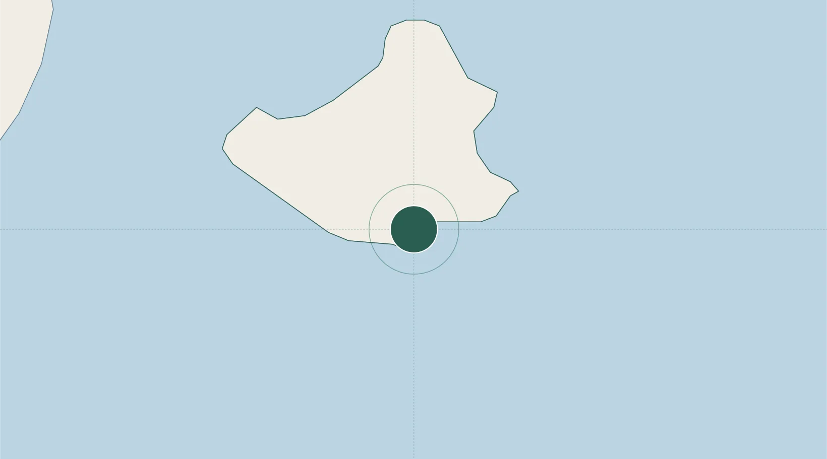
Location
Nearby Logistics Neighbours
Ports
- 1Dumaguete43 km
- 2Tagbilaran64 km
- 3Bais78 km
- 4Jimenez91 km
- 5Tubigan100 km
Airports
- 1Sibulan Airport44 km
- 2Bohol-Panglao International Airport53 km
- 3Dipolog Airport66 km
- 4Laguindingan International Airport106 km
- 5Labo Airport107 km
Trade Zones
- 1DBPI IT Park42 km
- 2YY Star DAS Information Technology Center42 km
- 3LP IT Park42 km
- 4Marina Town Dumaguete42 km
- 5Spanish Heritage IT Center43 km
DatabookThe Record of Consolidated Knowledge
Philippines beyond logistics?