Medium airport · Philippines

Bohol-Panglao International AirportRPSP
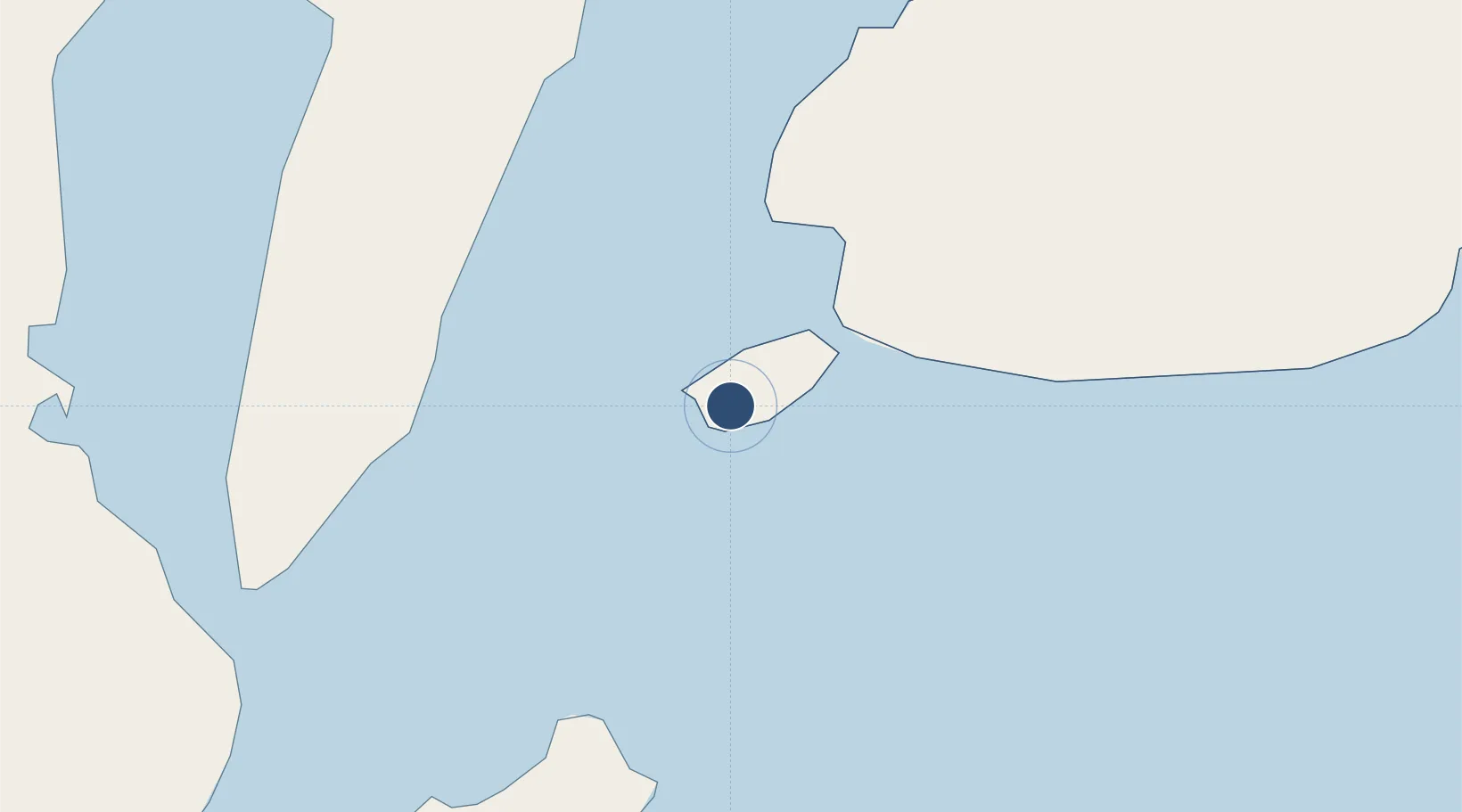
9.5730°, 123.7701°
8,202 ft
Longest runway
1
Runways
42 ft
Elevation

Runway & Layout

Bohol-Panglao International Airport runway & taxiway layout
Runway & taxiway layout — OpenStreetMap (ODbL) / OurAirports

Runways · 1

RunwayDimensions SurfaceTrue headingLit
03/21 8,202 × —ft Asphalt
OurAirports

Airport Specifications

IATA code
TAG
OurAirports
ICAO code
RPSP
OurAirports
Airport class
Medium airport
OurAirports
Scheduled service
Yes
OurAirports
Runway surface
Asphalt
OurAirports
Served city
Panglao
OurAirports

Location

Location of RPSP
Natural Earth 10m (public domain) · Bohol · RPSP · 9.57, 123.77GoogleOSMYandex

Nearby Logistics Neighbours

Airports
  1. 1Sibulan Airport58 km
  2. 2Mactan Cebu International Airport85 km
  3. 3Camiguin Airport109 km
  4. 4Dipolog Airport118 km
  5. 5Laguindingan International Airport131 km
Nearest neighbours — logibook spatial index (haversine) over the source coordinates
Cities
  1. 1Alcoy32 km
  2. 2Larena41 km
  3. 3Tubigon47 km
  4. 4Lazi53 km
  5. 5Garcia Hernandez58 km
Nearest neighbours — logibook spatial index (haversine) over the source coordinates
Ports
  1. 1Tagbilaran12 km
  2. 2Tubigan47 km
  3. 3Lazi51 km
  4. 4Dumaguete59 km
  5. 5Bais72 km
Nearest neighbours — logibook spatial index (haversine) over the source coordinates
Trade Zones
  1. 1Panglao Bluewater Economic Zone3 km
  2. 2Panglao Island Tourism Economic Zone6 km
  3. 3Alta Citta12 km
  4. 4Bohol First Information Technology Centre13 km
  5. 5Tagbilaran Uptown IT Hub14 km
Nearest neighbours — logibook spatial index (haversine) over the source coordinates
DatabookThe Record of Consolidated Knowledge
Philippines beyond logistics?
Browse databook

All Sources

AirportsOurAirports
Public domain
Portsthe NGA World Port Index
Public domain (US gov)
LocationsUN/LOCODE
UN/LOCODE — free
Trade Zonesthe World Bank SEZ database
CC BY 4.0
Trade ZonesOpen Zone Map
CC BY
InfrastructureOpenStreetMap
ODbL 1.0
← Philippines airports