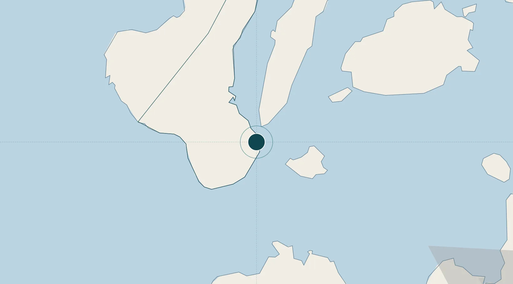
Seaport · Philippines

DumaguetePHDGT

9.3167°, 123.3000°
23.2 m
Channel depth
16.9
Port liner connectivity

Channel & Berth Profile

SEA LEVEL (CD)CHANNEL BEDCargo pier · 3.4 mChannel · 23.2 mAnchorage · 23.2 m
NGA World Port Index

Pilotage, Tugs & Services

Pilotage compulsoryYES
Pilotage availableYES
Potable waterYES
MedicalYES
NGA World Port Index

Facilities & Capabilities

Container
Ro-Ro
Liquid bulk
Dry bulk
Oil terminal
Break bulk
Dry dock
RepairsNO
BunkeringYES
Rail link
Dangerous cargo
ISPS security
NGA World Port Index

Harbour Specifications

Harbour size
Very Small
NGA World Port Index
Harbour type
Open Roadstead
NGA World Port Index
Shelter
Good
NGA World Port Index
Water body
Bohol Sea; Philippine inland seas; North Pacific Ocean
NGA World Port Index
Tidal range
1 m
NGA World Port Index
Pilotage
Yes
NGA World Port Index

Liner Connectivity

16.9
PLSCI

Port Liner Shipping Connectivity Index for Dumaguete, as published by UNCTAD for the latest available quarter. Higher values indicate stronger scheduled liner-shipping integration.

Shown relative to the highest per-port PLSCI in the dataset (1,657.9).

UNCTAD · Port Liner Shipping Connectivity Index

Location

Location of PHDGT
Natural Earth 10m (public domain) · Negros Oriental · PHDGT · 9.32, 123.30GoogleOSMYandex

Nearby Logistics Neighbours

Ports
  1. 1Bais37 km
  2. 2Lazi42 km
  3. 3Tagbilaran71 km
  4. 4Tubigan102 km
  5. 5Toledo122 km
Nearest neighbours — logibook spatial index (haversine) over the source coordinates
Cities
  1. 1Bacong9 km
  2. 2Tandayag17 km
  3. 3Malatapay31 km
  4. 4Larena32 km
  5. 5Lazi43 km
Nearest neighbours — logibook spatial index (haversine) over the source coordinates
Airports
  1. 1Sibulan Airport2 km
  2. 2Bohol-Panglao International Airport59 km
  3. 3Dipolog Airport80 km
  4. 4Mactan Cebu International Airport133 km
  5. 5Labo Airport140 km
Nearest neighbours — logibook spatial index (haversine) over the source coordinates
Trade Zones
  1. 1LinkSy IT Park1 km
  2. 2LP IT Park1 km
  3. 3Marina Town Dumaguete1 km
  4. 4YY Star DAS Information Technology Center2 km
  5. 5Spanish Heritage IT Center2 km
Nearest neighbours — logibook spatial index (haversine) over the source coordinates
DatabookThe Record of Consolidated Knowledge
Philippines beyond logistics?
Browse databook

All Sources

Portsthe NGA World Port Index
Public domain (US gov)
Logistics performanceUNCTAD
CC BY 3.0 IGO
AirportsOurAirports
Public domain
LocationsUN/LOCODE
UN/LOCODE — free
Trade Zonesthe World Bank SEZ database
CC BY 4.0
Trade ZonesOpen Zone Map
CC BY
← Philippines ports