Seaport · Philippines
CebuPHCEB
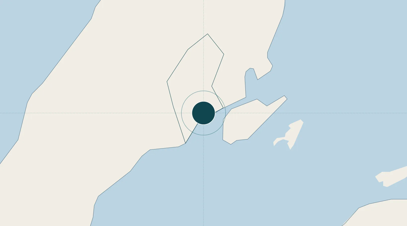
10.3000°, 123.9000°
9.4 m
Channel depth
2
Container terminals
145.6
Port liner connectivity
Channel & Berth Profile
Pilotage, Tugs & Services
Pilotage compulsoryYES
Pilotage availableYES
Tug assistanceYES
Shore powerYES
Potable waterYES
MedicalYES
Garbage disposalYES
Facilities & Capabilities
Container—
Ro-Ro—
Liquid bulk—
Dry bulk—
Oil terminal—
Break bulk—
Dry dockNO
RepairsNO
BunkeringYES
Rail link—
Dangerous cargo—
ISPS security—
Harbour Specifications
Harbour size
Large
Harbour type
Coastal (Breakwater)
Shelter
Excellent
Water body
Philippine inland seas; North Pacific Ocean
Tidal range
2 m
Overhead limit
Yes
Pilotage
Yes
Liner Connectivity
145.6
PLSCI
Port Liner Shipping Connectivity Index for Cebu, as published by UNCTAD for the latest available quarter. Higher values indicate stronger scheduled liner-shipping integration.
Shown relative to the highest per-port PLSCI in the dataset (1,657.9).
Location
Container Terminals · 2
CEBU INTERNATIONAL PORT
CIP
CEBU SOUTH HARBOR & CONTAINER TERMINAL (CSHCT)
CSHCT CEBU SOUTH HARBOR & CONTAINER TERMINAL CORPORATION
Nearby Logistics Neighbours
Ports
- 1Toledo30 km
- 2Tubigan40 km
- 3San Carlos57 km
- 4Tagbilaran73 km
- 5Isabel90 km
Cities
- 1Laguna2 km
- 2Mandaue, Cebu5 km
- 3Lapu-Lapu, Cebu6 km
- 4Mactan Island Apt11 km
- 5Buanoy29 km
Airports
Trade Zones
DatabookThe Record of Consolidated Knowledge
Philippines beyond logistics?