Large airport · Philippines
Mactan Cebu International AirportRPVM
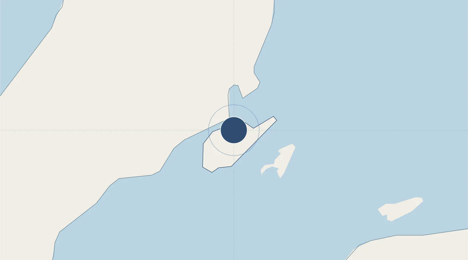
10.3093°, 123.9797°
10,860 ft
Longest runway
2
Runways
31 ft
Elevation
Runway & Layout

Radio Frequencies
ATIS
126.6 MHz
TWR
118.1 MHz
GND
121.8 MHz
CLD
125.1 MHz
CLNC
APP
124.7 MHz
DEP
121.2 MHz
Departure
CTAF
121.9 MHz
UNI
ACC
127.5 MHz
CON
FOC
118.5 MHz
OPS
FSS
124 MHz
RDO
Navaids
MCT VOR-DME Mactan 114.30 MHz
MCT NDB Mactan 331 kHz
Runways · 2
| Runway | Dimensions | Surface | True heading | Lit |
|---|---|---|---|---|
| 04R/22L | 10,860 × 148ft | Asphalt | 045° | ✓ |
| 04L/22R | 8,399 × 148ft | Concrete | 044° | — |
Airport Specifications
IATA code
CEB
ICAO code
RPVM
Airport class
Large airport
Scheduled service
Yes
Runway surface
Asphalt
Served city
Cebu City/Lapu-Lapu City
Location
Nearby Logistics Neighbours
Airports
- 1Bohol-Panglao International Airport85 km
- 2Ormoc Airport105 km
- 3Bacolod-Silay International Airport117 km
- 4Sibulan Airport131 km
- 5Camiguin Airport142 km
Cities
- 1Mactan Island Apt2 km
- 2Lapu-Lapu, Cebu3 km
- 3Mandaue, Cebu5 km
- 4Cebu8 km
- 5Laguna11 km
Ports
- 1Cebu9 km
- 2Toledo38 km
- 3Tubigan40 km
- 4San Carlos65 km
- 5Tagbilaran75 km
Trade Zones
DatabookThe Record of Consolidated Knowledge
Philippines beyond logistics?