Specialized Zone · Philippines

Panglao Island Tourism Economic Zone Under Development
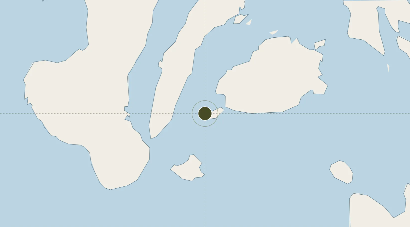
9.5950°, 123.7247°
51 ha
Zone area
15.0 km
Nearest port
5.5 km
Nearest airport

Gateway access

Nearest neighbours — logibook spatial index (haversine) over the source coordinates

Zone profile

Zone type
Specialized Zone
Open Zone Map
Specialization
Tourism
Open Zone Map
Region
Cebu
Open Zone Map
Status
Under Development
Open Zone Map
Management
Private
Open Zone Map
Operator
Blue Sky Sea Resort Corporation
Open Zone Map
Legal framework
Special Economic Zone Act (Republic Act No. 7916) (as amended by Republic Act No. 8748)
Open Zone Map

Location

Location of ozm-3939
Natural Earth 10m (public domain) · Cebu · ozm-3939 · 9.59, 123.72GoogleOSMYandex

Nearby Logistics Neighbours

Ports
  1. 1Tagbilaran15 km
  2. 2Tubigan48 km
  3. 3Lazi52 km
  4. 4Dumaguete56 km
  5. 5Bais67 km
Nearest neighbours — logibook spatial index (haversine) over the source coordinates
Airports
  1. 1Bohol-Panglao International Airport6 km
  2. 2Sibulan Airport55 km
  3. 3Mactan Cebu International Airport84 km
  4. 4Camiguin Airport114 km
  5. 5Dipolog Airport118 km
Nearest neighbours — logibook spatial index (haversine) over the source coordinates
Cities
  1. 1Alcoy27 km
  2. 2Larena41 km
  3. 3Tubigon48 km
  4. 4Lazi54 km
  5. 5Tandayag58 km
Nearest neighbours — logibook spatial index (haversine) over the source coordinates
Trade Zones
  1. 1Panglao Bluewater Economic Zone7 km
  2. 2Alta Citta15 km
  3. 3Bohol First Information Technology Centre16 km
  4. 4Tagbilaran Uptown IT Hub17 km
  5. 5Island City Mall IT Building17 km
Nearest neighbours — logibook spatial index (haversine) over the source coordinates
DatabookThe Record of Consolidated Knowledge
Philippines beyond logistics?
Browse databook

All Sources

Trade ZonesOpen Zone Map
CC BY
Portsthe NGA World Port Index
Public domain (US gov)
AirportsOurAirports
Public domain
LocationsUN/LOCODE
UN/LOCODE — free
← Philippines trade zones