Free Trade Zone · Philippines
Alta Citta Active
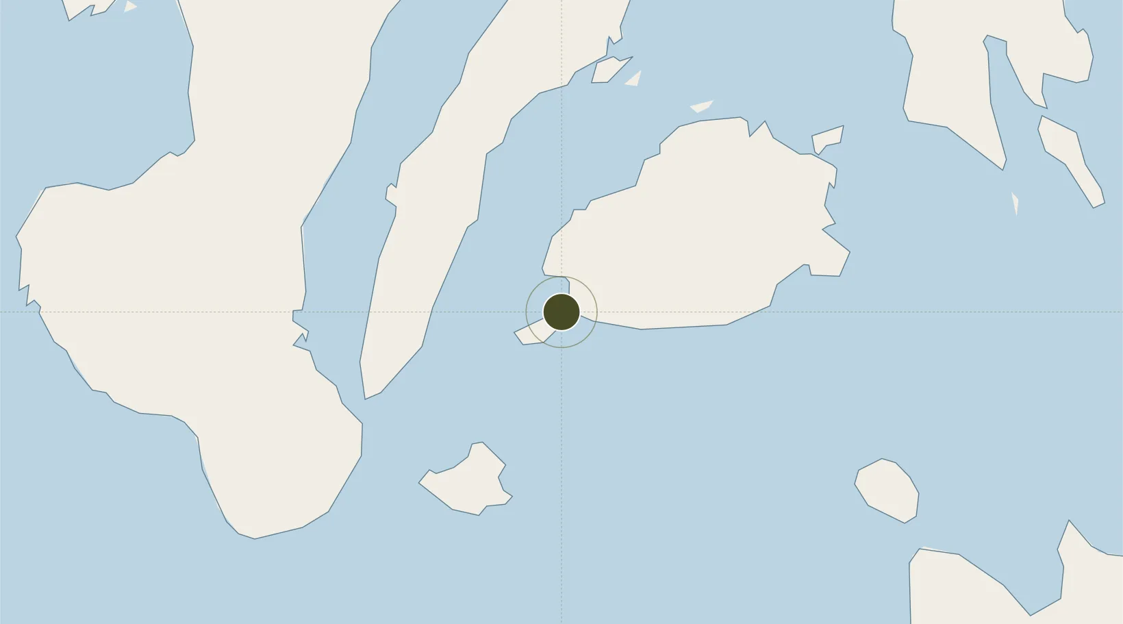
9.6414°, 123.8532°
1 ha
Zone area
1.0 km
Nearest port
11.9 km
Nearest airport
Gateway access
Zone profile
Zone type
Free Trade Zone
Region
Bohol
Status
Active
Management
Private
Operator
Alturas Supermarket Corporation
Legal framework
Special Economic Zone Act (Republic Act No. 7916) (as amended by Republic Act No. 8748)
Location
Nearby Logistics Neighbours
Ports
- 1Tagbilaran1 km
- 2Tubigan37 km
- 3Lazi61 km
- 4Dumaguete71 km
- 5Cebu73 km
Airports
- 1Bohol-Panglao International Airport12 km
- 2Sibulan Airport69 km
- 3Mactan Cebu International Airport76 km
- 4Camiguin Airport103 km
- 5Dipolog Airport129 km
Cities
- 1Tubigon37 km
- 2Alcoy39 km
- 3Garcia Hernandez49 km
- 4Larena53 km
- 5Lazi63 km
DatabookThe Record of Consolidated Knowledge
Philippines beyond logistics?