UN/LOCODE hub · Philippines
PHTON

Tubigon

9.9500°, 123.9667°
1
Transport functions

Transport Functions

Port
Tubigon is also a profiled seaport →
UN/LOCODE

Hub Profile

Region
BOH
GeoNames

Location

Location of PHTON
Natural Earth 10m (public domain) · BOH · PHTON · 9.95, 123.97GoogleOSMYandex

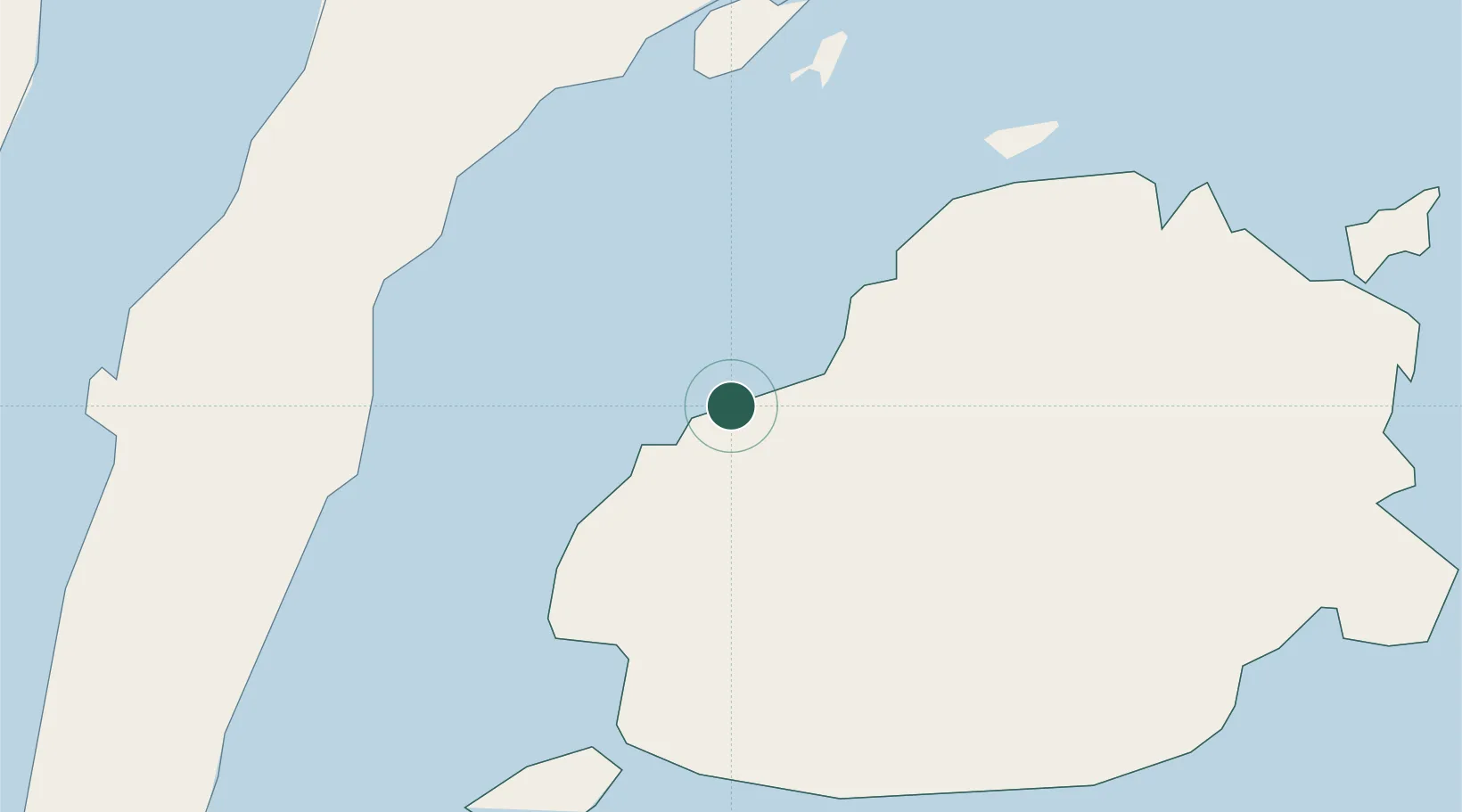
Nearby Logistics Neighbours

Cities
  1. 1Mactan Island Apt39 km
  2. 2Cebu40 km
  3. 3Laguna40 km
  4. 4Lapu-Lapu, Cebu41 km
  5. 5Mandaue, Cebu42 km
Nearest neighbours — logibook spatial index (haversine) over the source coordinates
Ports
  1. 1Tagbilaran36 km
  2. 2Cebu40 km
  3. 3Toledo59 km
  4. 4San Carlos85 km
  5. 5Maasin97 km
Nearest neighbours — logibook spatial index (haversine) over the source coordinates
Airports
  1. 1Mactan Cebu International Airport40 km
  2. 2Bohol-Panglao International Airport47 km
  3. 3Sibulan Airport100 km
  4. 4Camiguin Airport112 km
  5. 5Bacolod-Silay International Airport139 km
Nearest neighbours — logibook spatial index (haversine) over the source coordinates
Trade Zones
  1. 1Island City Mall IT Building34 km
  2. 2Tagbilaran Uptown IT Hub35 km
  3. 3Cordova Next IT and Light Industrial Park35 km
  4. 4Bohol First Information Technology Centre36 km
  5. 5Alta Citta37 km
Nearest neighbours — logibook spatial index (haversine) over the source coordinates
DatabookThe Record of Consolidated Knowledge
Philippines beyond logistics?
Browse databook

All Sources

LocationsUN/LOCODE
UN/LOCODE — free
Portsthe NGA World Port Index
Public domain (US gov)
AirportsOurAirports
Public domain
Trade Zonesthe World Bank SEZ database
CC BY 4.0
Trade ZonesOpen Zone Map
CC BY
← Philippines locations