Transport Functions
Port
Hub Profile
Place type
District seat
Region
Central Visayas
Time zone
Asia/Manila
Elevation
36 m
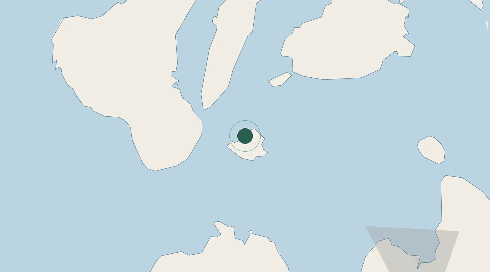
Location
Nearby Logistics Neighbours
Ports
- 1Lazi14 km
- 2Dumaguete32 km
- 3Tagbilaran53 km
- 4Bais64 km
- 5Tubigan89 km
Airports
- 1Sibulan Airport32 km
- 2Bohol-Panglao International Airport41 km
- 3Dipolog Airport77 km
- 4Laguindingan International Airport119 km
- 5Labo Airport123 km
Trade Zones
- 1Marina Town Dumaguete31 km
- 2YY Star DAS Information Technology Center31 km
- 3LP IT Park31 km
- 4DBPI IT Park31 km
- 5Spanish Heritage IT Center32 km
DatabookThe Record of Consolidated Knowledge
Philippines beyond logistics?