Seaport · Philippines
TagbilaranPHTAG
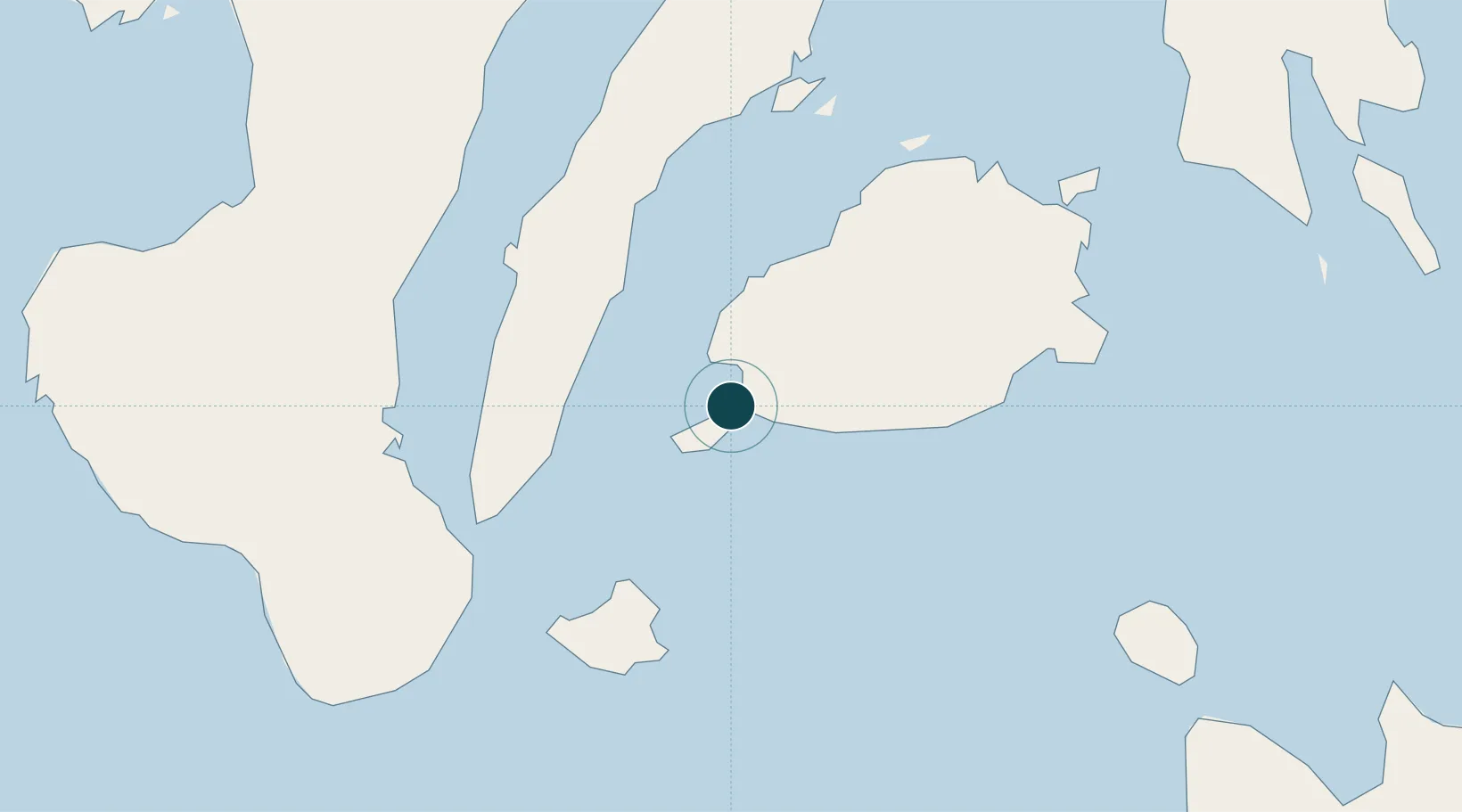
9.6500°, 123.8500°
6.4 m
Channel depth
8.9
Port liner connectivity
Channel & Berth Profile
Pilotage, Tugs & Services
Pilotage availableYES
Local assistanceYES
Tug assistanceYES
MedicalYES
Facilities & Capabilities
Container—
Ro-Ro—
Liquid bulk—
Dry bulk—
Oil terminal—
Break bulk—
Dry dock—
Repairs—
BunkeringYES
Rail link—
Dangerous cargo—
ISPS security—
Harbour Specifications
Harbour size
Small
Harbour type
Open Roadstead
Shelter
Good
Water body
Philippine inland seas; North Pacific Ocean
Tidal range
1 m
Liner Connectivity
8.9
PLSCI
Port Liner Shipping Connectivity Index for Tagbilaran, as published by UNCTAD for the latest available quarter. Higher values indicate stronger scheduled liner-shipping integration.
Shown relative to the highest per-port PLSCI in the dataset (1,657.9).
Location
Nearby Logistics Neighbours
Cities
- 1Tubigon36 km
- 2Alcoy39 km
- 3Garcia Hernandez50 km
- 4Larena53 km
- 5Lazi64 km
Airports
- 1Bohol-Panglao International Airport12 km
- 2Sibulan Airport70 km
- 3Mactan Cebu International Airport75 km
- 4Camiguin Airport104 km
- 5Dipolog Airport129 km
Trade Zones
DatabookThe Record of Consolidated Knowledge
Philippines beyond logistics?