Transport Functions
Port
Road
Hub Profile
Place type
District seat
Region
Central Visayas
Population
3,015
Time zone
Asia/Manila
Elevation
35 m
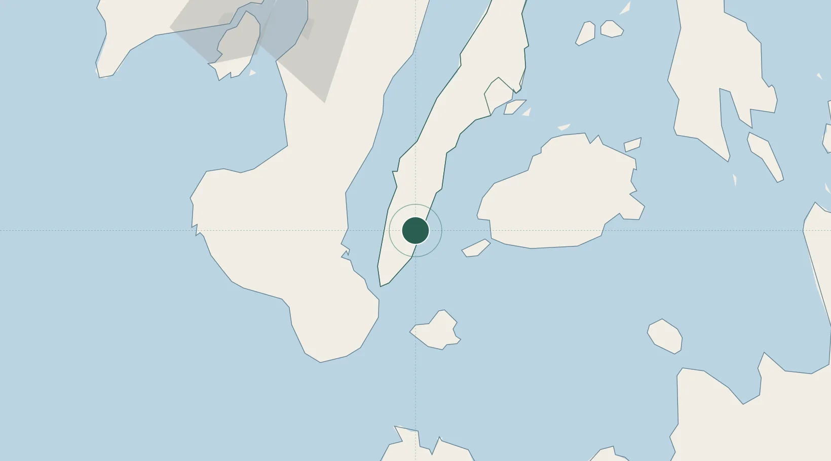
Location
Nearby Logistics Neighbours
Cities
- 1Tandayag41 km
- 2Malatapay41 km
- 3Larena49 km
- 4Guihulngan54 km
- 5Bacong55 km
Ports
- 1Tagbilaran39 km
- 2Bais43 km
- 3Dumaguete46 km
- 4Tubigan59 km
- 5Lazi63 km
Airports
Trade Zones
DatabookThe Record of Consolidated Knowledge
Philippines beyond logistics?