Free Trade Zone · Philippines

Island City Mall IT Building Active
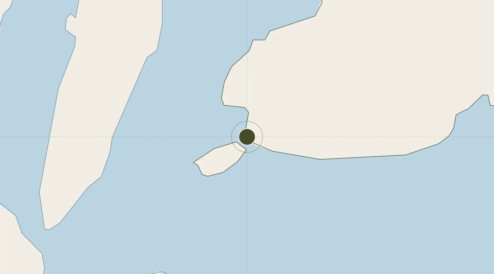
9.6553°, 123.8697°
4 ha
Zone area
2.2 km
Nearest port
14.2 km
Nearest airport

Gateway access

Nearest neighbours — logibook spatial index (haversine) over the source coordinates

Zone profile

Zone type
Free Trade Zone
Open Zone Map
Region
Bohol
Open Zone Map
Status
Active
Open Zone Map
Management
Private
Open Zone Map
Operator
Alturas Supermarket Corporation
Open Zone Map
Legal framework
Special Economic Zone Act (Republic Act No. 7916) (as amended by Republic Act No. 8748)
Open Zone Map

Location

Location of ozm-3307
Natural Earth 10m (public domain) · Bohol · ozm-3307 · 9.66, 123.87GoogleOSMYandex

Nearby Logistics Neighbours

Ports
  1. 1Tagbilaran2 km
  2. 2Tubigan34 km
  3. 3Lazi64 km
  4. 4Cebu72 km
  5. 5Dumaguete73 km
Nearest neighbours — logibook spatial index (haversine) over the source coordinates
Airports
  1. 1Bohol-Panglao International Airport14 km
  2. 2Sibulan Airport72 km
  3. 3Mactan Cebu International Airport74 km
  4. 4Camiguin Airport102 km
  5. 5Dipolog Airport131 km
Nearest neighbours — logibook spatial index (haversine) over the source coordinates
Cities
  1. 1Tubigon34 km
  2. 2Alcoy41 km
  3. 3Garcia Hernandez47 km
  4. 4Larena55 km
  5. 5Lazi65 km
Nearest neighbours — logibook spatial index (haversine) over the source coordinates
Trade Zones
  1. 1Tagbilaran Uptown IT Hub0 km
  2. 2Bohol First Information Technology Centre1 km
  3. 3Alta Citta2 km
  4. 4Panglao Bluewater Economic Zone17 km
  5. 5Panglao Island Tourism Economic Zone17 km
Nearest neighbours — logibook spatial index (haversine) over the source coordinates
DatabookThe Record of Consolidated Knowledge
Philippines beyond logistics?
Browse databook

All Sources

Trade ZonesOpen Zone Map
CC BY
Portsthe NGA World Port Index
Public domain (US gov)
AirportsOurAirports
Public domain
LocationsUN/LOCODE
UN/LOCODE — free
← Philippines trade zones