Export Processing Zone · Philippines

Gensan Economic Zone Active
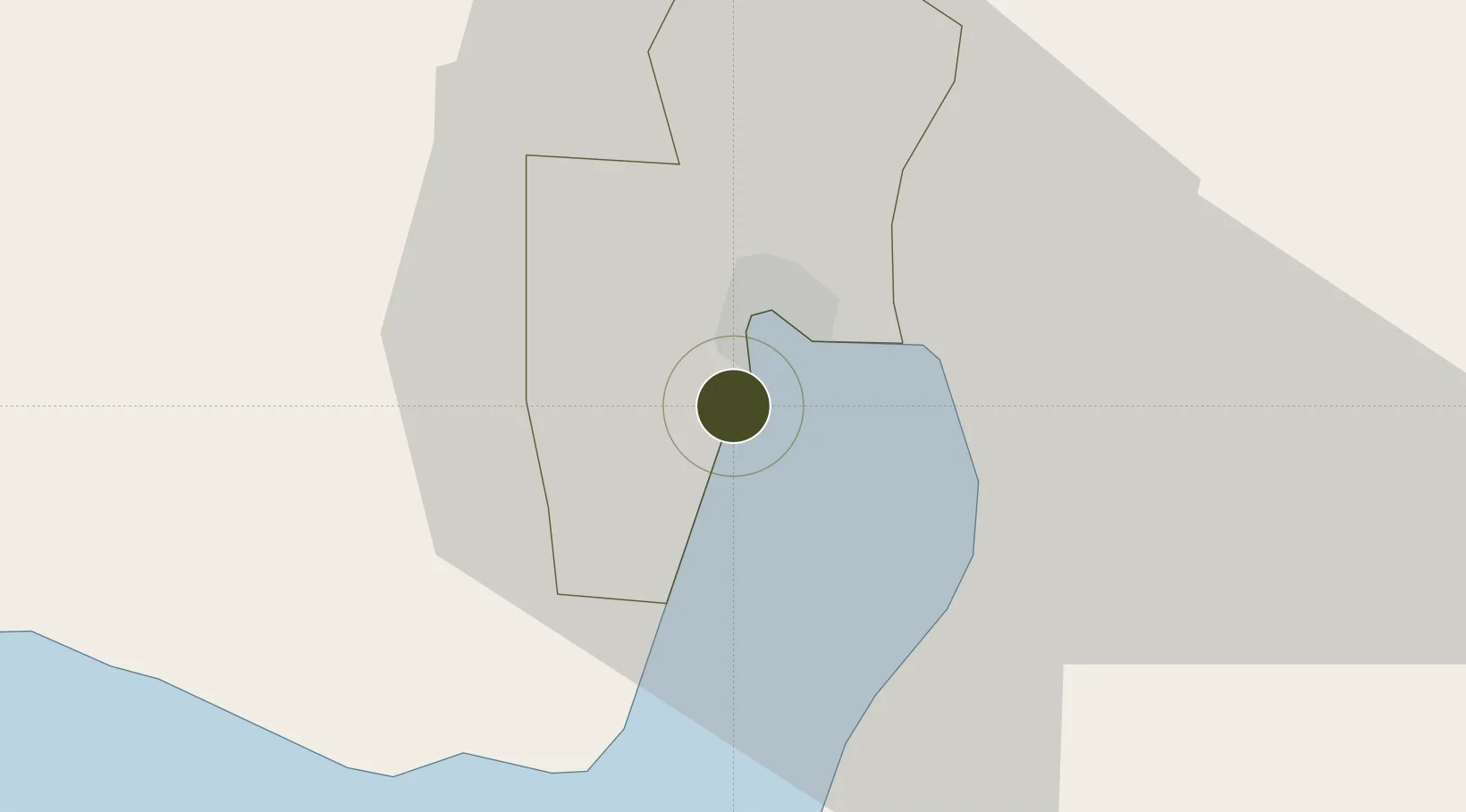
6.0599°, 125.1482°
46 ha
Zone area
7.4 km
Nearest port
5.8 km
Nearest airport

Gateway access

Nearest neighbours — logibook spatial index (haversine) over the source coordinates

Zone profile

Zone type
Export Processing Zone
Open Zone Map
Region
General Santos
Open Zone Map
Status
Active
Open Zone Map
Management
Private
Open Zone Map
Operator
Damalerio Realtors, Inc. & PEZA
Open Zone Map
Legal framework
Special Economic Zone Act (Republic Act No. 7916) (as amended by Republic Act No. 8748)
Open Zone Map

Location

Location of ozm-3249
Natural Earth 10m (public domain) · General Santos · ozm-3249 · 6.06, 125.15GoogleOSMYandex

Nearby Logistics Neighbours

Ports
  1. 1General Santos7 km
  2. 2Davao123 km
  3. 3Mati154 km
  4. 4Polloc (Cotabato)177 km
  5. 5Iligan262 km
Nearest neighbours — logibook spatial index (haversine) over the source coordinates
Airports
  1. 1General Santos International Airport6 km
  2. 2Rajah Buayan Air Base11 km
  3. 3Allah Valley Airport56 km
  4. 4Central Mindanao Airport98 km
  5. 5Francisco Bangoy International Airport131 km
Nearest neighbours — logibook spatial index (haversine) over the source coordinates
Cities
  1. 1General Santos3 km
  2. 2Astorga97 km
  3. 3Kalamansig133 km
  4. 4Davao, Mindanao135 km
  5. 5DICT / SVT149 km
Nearest neighbours — logibook spatial index (haversine) over the source coordinates
Trade Zones
  1. 1Gensan Economic Zone0 km
  2. 2Millennium Industrial Economic Zone2 km
  3. 3SRC Calumpang Economic Development Zone3 km
  4. 4Agrotex Gensan Economic Zone4 km
  5. 5Mindanao Polytechnic College IT Park6 km
Nearest neighbours — logibook spatial index (haversine) over the source coordinates
DatabookThe Record of Consolidated Knowledge
Philippines beyond logistics?
Browse databook

All Sources

Trade ZonesOpen Zone Map
CC BY
Portsthe NGA World Port Index
Public domain (US gov)
AirportsOurAirports
Public domain
LocationsUN/LOCODE
UN/LOCODE — free
← Philippines trade zones