UN/LOCODE hub · Philippines
PHDVO
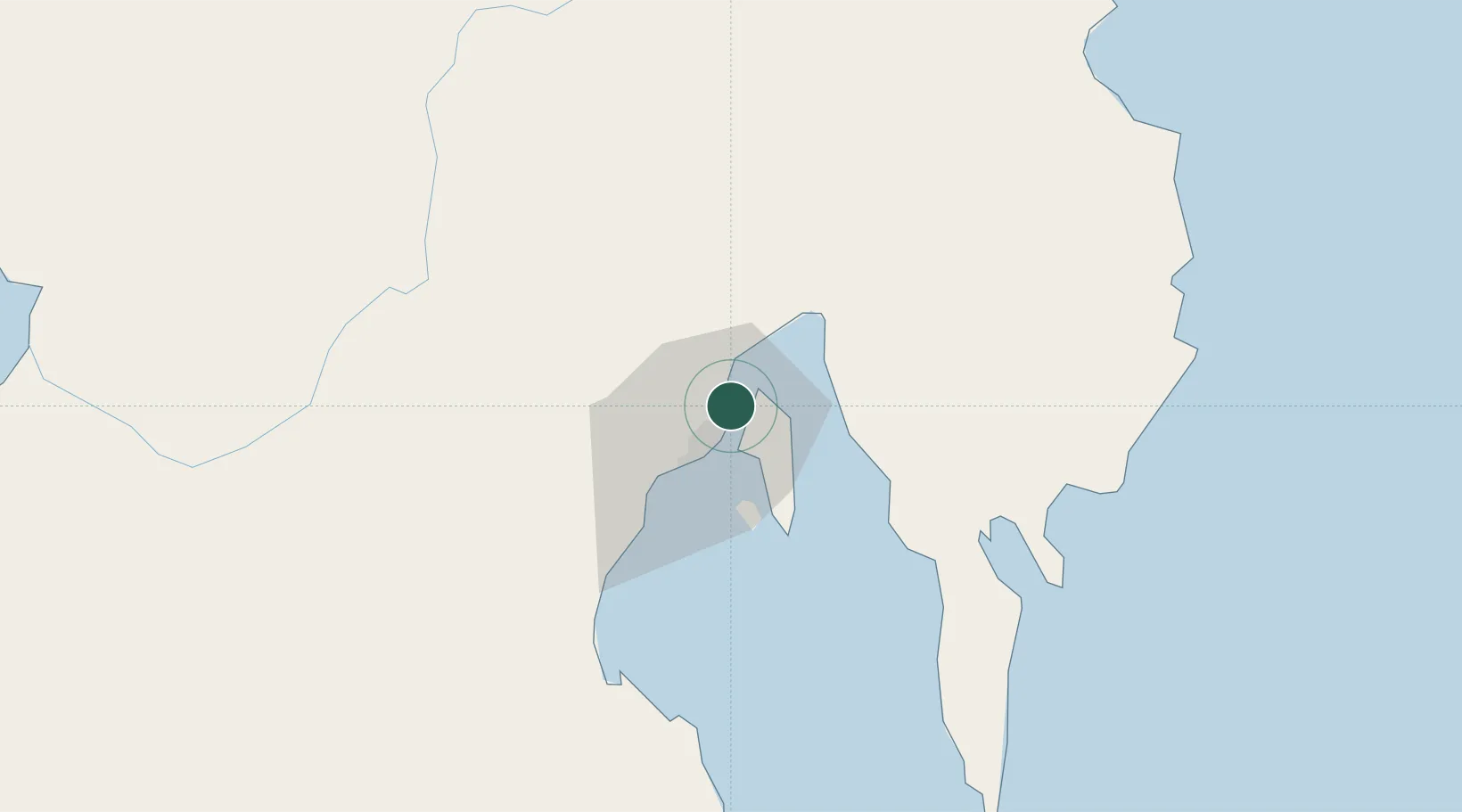
Davao, Mindanao
7.1598°, 125.6598°
2
Transport functions
5
Container terminals
Transport Functions
Port
Airport
Hub Profile
Logistics facilities
24
Container terminals
5
Location
Nearby Logistics Neighbours
Cities
- 1DICT / SVT14 km
- 2Panabo16 km
- 3Astorga39 km
- 4Boston/Davao109 km
- 5General Santos132 km
Ports
- 1Mati66 km
- 2General Santos127 km
- 3Mangagoy140 km
- 4Hinatuan153 km
- 5Polloc (Cotabato)161 km
Airports
- 1Francisco Bangoy International Airport4 km
- 2Mati National Airport72 km
- 3Central Mindanao Airport86 km
- 4Rajah Buayan Air Base126 km
- 5Allah Valley Airport133 km
DatabookThe Record of Consolidated Knowledge
Philippines beyond logistics?