UN/LOCODE hub · Philippines
PHDCT

DICT / SVT

7.2833°, 125.7000°
1
Transport functions

Transport Functions

Multimodal
UN/LOCODE

Hub Profile

Region
DAV
GeoNames

Location

Location of PHDCT
Natural Earth 10m (public domain) · DAV · PHDCT · 7.28, 125.70GoogleOSMYandex

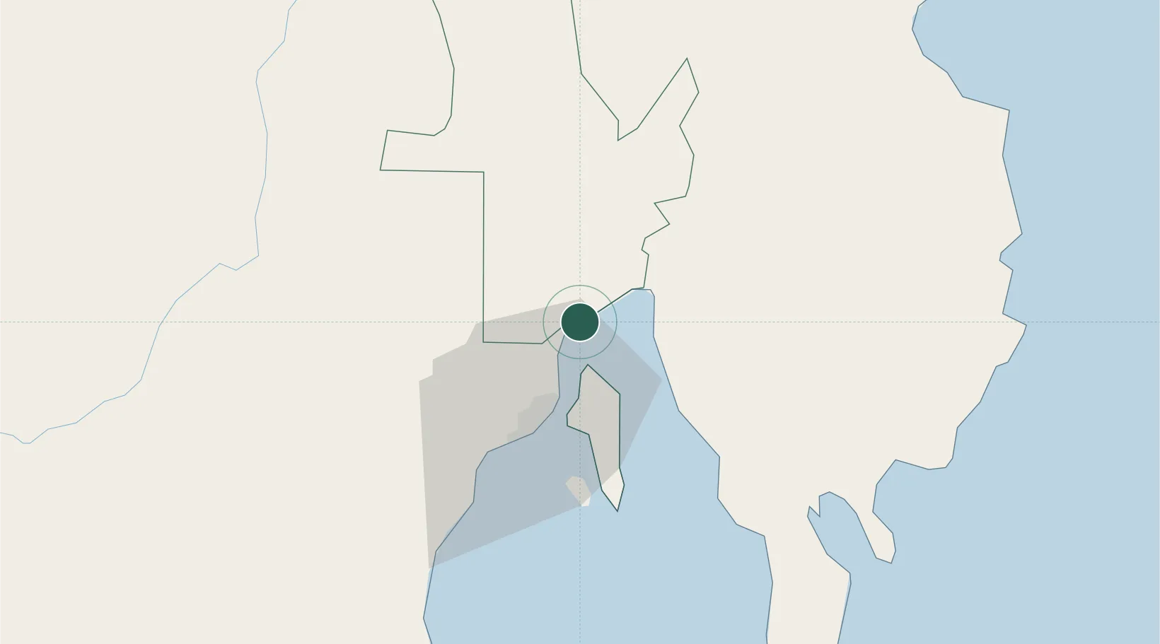
Nearby Logistics Neighbours

Cities
  1. 1Panabo3 km
  2. 2Davao, Mindanao14 km
  3. 3Astorga52 km
  4. 4Boston/Davao97 km
  5. 5General Santos146 km
Nearest neighbours — logibook spatial index (haversine) over the source coordinates
Ports
  1. 1Davao26 km
  2. 2Mati68 km
  3. 3Mangagoy126 km
  4. 4Hinatuan139 km
  5. 5General Santos142 km
Nearest neighbours — logibook spatial index (haversine) over the source coordinates
Airports
  1. 1Francisco Bangoy International Airport19 km
  2. 2Mati National Airport73 km
  3. 3Central Mindanao Airport95 km
  4. 4Bislig Airport122 km
  5. 5Rajah Buayan Air Base141 km
Nearest neighbours — logibook spatial index (haversine) over the source coordinates
DatabookThe Record of Consolidated Knowledge
Philippines beyond logistics?
Browse databook

All Sources

LocationsUN/LOCODE
UN/LOCODE — free
Portsthe NGA World Port Index
Public domain (US gov)
AirportsOurAirports
Public domain
Trade Zonesthe World Bank SEZ database
CC BY 4.0
Trade ZonesOpen Zone Map
CC BY
← Philippines locations