Large airport · Philippines

Francisco Bangoy International AirportRPMD
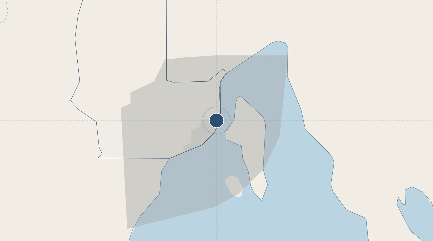
7.1255°, 125.6460°
9,842 ft
Longest runway
1
Runways
96 ft
Elevation

Runway & Layout

Francisco Bangoy International Airport runway & taxiway layout
Runway & taxiway layout — OpenStreetMap (ODbL) / OurAirports

Radio Frequencies

ATIS
127 MHz
TWR
118.1 MHz
DAVAO TWR
APP
122.4 MHz
DAVAO APP
RDO
124 MHz
DAVAO RDO
OurAirports

Navaids

DAO VOR-DME Davao 112.10 MHz
DAO NDB Davao 364 kHz
OurAirports

Runways · 1

RunwayDimensions SurfaceTrue headingLit
05/23 9,842 × 148ft Asphalt 049°
OurAirports

Airport Specifications

IATA code
DVO
OurAirports
ICAO code
RPMD
OurAirports
Airport class
Large airport
OurAirports
Scheduled service
Yes
OurAirports
Runway surface
Asphalt
OurAirports
Served city
Davao
OurAirports

Location

Location of RPMD
Natural Earth 10m (public domain) · Davao · RPMD · 7.13, 125.65GoogleOSMYandex

Nearby Logistics Neighbours

Airports
  1. 1Mati National Airport72 km
  2. 2Central Mindanao Airport83 km
  3. 3Rajah Buayan Air Base122 km
  4. 4Allah Valley Airport130 km
  5. 5General Santos International Airport133 km
Nearest neighbours — logibook spatial index (haversine) over the source coordinates
Cities
  1. 1Davao, Mindanao4 km
  2. 2DICT / SVT19 km
  3. 3Panabo20 km
  4. 4Astorga35 km
  5. 5Boston/Davao113 km
Nearest neighbours — logibook spatial index (haversine) over the source coordinates
Ports
  1. 1Davao7 km
  2. 2Mati66 km
  3. 3General Santos123 km
  4. 4Mangagoy144 km
  5. 5Hinatuan157 km
Nearest neighbours — logibook spatial index (haversine) over the source coordinates
Trade Zones
  1. 1The New Lanang Project1 km
  2. 2Cocochem Agro-Industrial Park Inc. (CAIP)2 km
  3. 3Hijo Special Economic Zone2 km
  4. 4Lanang Business Park3 km
  5. 5Damosa I.T. Park3 km
Nearest neighbours — logibook spatial index (haversine) over the source coordinates
DatabookThe Record of Consolidated Knowledge
Philippines beyond logistics?
Browse databook

All Sources

AirportsOurAirports
Public domain
Portsthe NGA World Port Index
Public domain (US gov)
LocationsUN/LOCODE
UN/LOCODE — free
Trade Zonesthe World Bank SEZ database
CC BY 4.0
Trade ZonesOpen Zone Map
CC BY
InfrastructureOpenStreetMap
ODbL 1.0
← Philippines airports