ECOzone · Philippines

Gensan Economic Zone Active
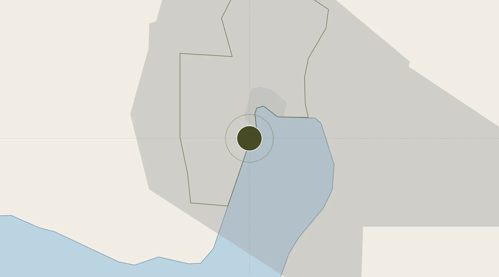
6.0608°, 125.1464°
28 ha
Zone area
7.4 km
Nearest port
5.6 km
Nearest airport

Gateway access

Nearest neighbours — logibook spatial index (haversine) over the source coordinates

Zone profile

Zone type
ECOzone
the World Bank SEZ database
Specialization
Agriculture
the World Bank SEZ database
Region
General Santos
the World Bank SEZ database
Status
Active
the World Bank SEZ database
Established
2014
the World Bank SEZ database
Management
Private management
the World Bank SEZ database
Operator
Damalerio Realtors, Inc.
the World Bank SEZ database
Regulatory authority
Philippines Economic Zone Authority
the World Bank SEZ database
Legal framework
Special Economic Zone Act
the World Bank SEZ database

Location

Location of PHL50
Natural Earth 10m (public domain) · General Santos · PHL50 · 6.06, 125.15GoogleOSMYandex

Fiscal & incentives

Corporate tax
30%
the World Bank SEZ database
Tax relief
100% exempt
the World Bank SEZ database
Relief duration
4-8 years
the World Bank SEZ database
VAT
100% exempt from VAT on utility charges
the World Bank SEZ database
Import duty (inputs)
100% exempt
the World Bank SEZ database
Import duty (capex)
100% exempt
the World Bank SEZ database
Profit repatriation
No exemption
the World Bank SEZ database
Capital gains
No exemption
the World Bank SEZ database
Withholding tax
100% exempt from withholding tax
the World Bank SEZ database
Min. investment
None
the World Bank SEZ database
Min. export
70% for manufacturing and IT industries
the World Bank SEZ database
Employment incentive
No exemption
the World Bank SEZ database
Developer incentive
Yes
the World Bank SEZ database

Nearby Logistics Neighbours

Ports
  1. 1General Santos7 km
  2. 2Davao123 km
  3. 3Mati154 km
  4. 4Polloc (Cotabato)176 km
  5. 5Iligan262 km
Nearest neighbours — logibook spatial index (haversine) over the source coordinates
Airports
  1. 1General Santos International Airport6 km
  2. 2Rajah Buayan Air Base11 km
  3. 3Allah Valley Airport55 km
  4. 4Central Mindanao Airport98 km
  5. 5Francisco Bangoy International Airport131 km
Nearest neighbours — logibook spatial index (haversine) over the source coordinates
Cities
  1. 1General Santos3 km
  2. 2Astorga97 km
  3. 3Kalamansig133 km
  4. 4Davao, Mindanao135 km
  5. 5DICT / SVT149 km
Nearest neighbours — logibook spatial index (haversine) over the source coordinates
Trade Zones
  1. 1Gensan Economic Zone0 km
  2. 2Millennium Industrial Economic Zone2 km
  3. 3SRC Calumpang Economic Development Zone3 km
  4. 4Agrotex Gensan Economic Zone4 km
  5. 5Mindanao Polytechnic College IT Park6 km
Nearest neighbours — logibook spatial index (haversine) over the source coordinates
DatabookThe Record of Consolidated Knowledge
Philippines beyond logistics?
Browse databook

All Sources

Trade Zonesthe World Bank SEZ database
CC BY 4.0
Portsthe NGA World Port Index
Public domain (US gov)
AirportsOurAirports
Public domain
LocationsUN/LOCODE
UN/LOCODE — free
← Philippines trade zones