Transport Functions
Port
Road
Hub Profile
Region
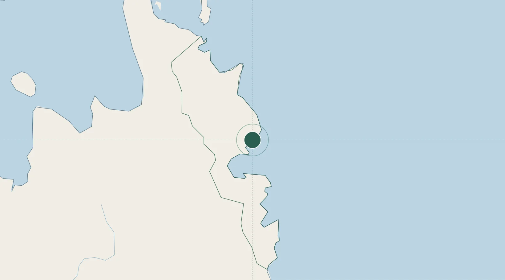
SUR
Location
Nearby Logistics Neighbours
Cities
- 1Aras Asan/Bislig11 km
- 2Taganito100 km
- 3Boston/Davao102 km
- 4Gigaquit, Mindanao111 km
- 5Lunao136 km
Ports
- 1Hinatuan47 km
- 2Mangagoy61 km
- 3Butuan City85 km
- 4Masao98 km
- 5Nasipit Port107 km
Airports
- 1Tandag Airport34 km
- 2Bislig Airport66 km
- 3Bancasi Airport90 km
- 4Siargao Airport123 km
- 5Surigao Airport140 km
Trade Zones
DatabookThe Record of Consolidated Knowledge
Philippines beyond logistics?