Medium airport · Chile
Chacalluta International AirportSCAR
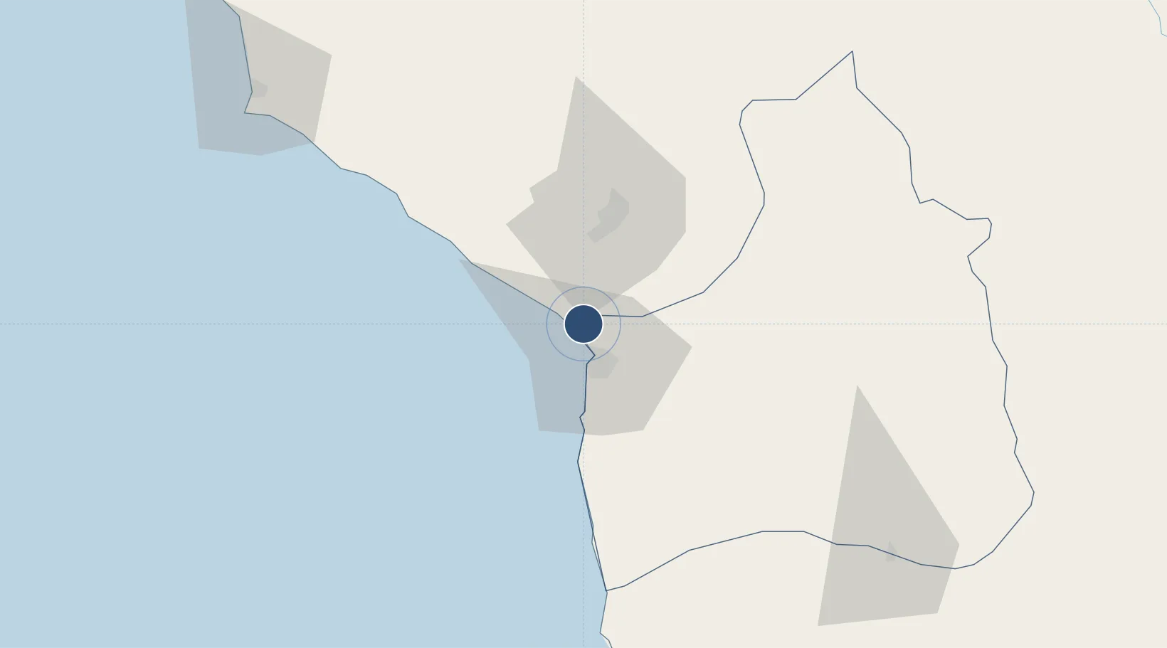
-18.3485°, -70.3387°
7,119 ft
Longest runway
1
Runways
167 ft
Elevation
Runway & Layout

Radio Frequencies
TWR
118.5 MHz
ARICA TWR
GND
121.9 MHz
APP
119.9 MHz
ARICA APP
Navaids
ARI VOR-DME Arica 116.50 MHz
R NDB Arica 305 kHz
Runways · 1
| Runway | Dimensions | Surface | True heading | Lit |
|---|---|---|---|---|
| 02/20 | 7,119 × 148ft | Asphalt | 019° | ✓ |
Airport Specifications
IATA code
ARI
ICAO code
SCAR
Airport class
Medium airport
Scheduled service
Yes
Runway surface
Asphalt
Served city
Arica
Location
Nearby Logistics Neighbours
Airports
Cities
- 1Arica12 km
- 2General Lagos108 km
- 3Ilo132 km
- 4Pisagua140 km
- 5Guayubín175 km
Ports
- 1Rada De Arica13 km
- 2Puerto Ilo135 km
- 3Iquique207 km
- 4Bahia De Matarani241 km
- 5Caleta Patillos266 km
DatabookThe Record of Consolidated Knowledge
Chile beyond logistics?