Medium airport · Peru

Coronel FAP Carlos Ciriani Santa Rosa International AirportSPTN
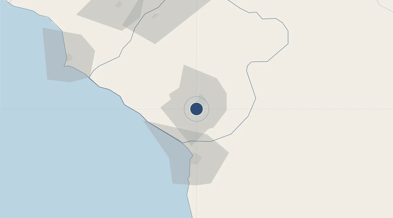
-18.0533°, -70.2758°
8,202 ft
Longest runway
1
Runways
1,538 ft
Elevation

Runway & Layout

Coronel FAP Carlos Ciriani Santa Rosa International Airport runway & taxiway layout
Runway & taxiway layout — OpenStreetMap (ODbL) / OurAirports

Radio Frequencies

TWR
118.4 MHz
TACNA APP/TWR
RDO
126.9 MHz
TACNA RDO
OurAirports

Navaids

TCA VOR-DME Tacna 116.80 MHz
OurAirports

Runways · 1

RunwayDimensions SurfaceTrue headingLit
02/20 8,202 × 148ft Asphalt 020°
OurAirports

Airport Specifications

IATA code
TCQ
OurAirports
ICAO code
SPTN
OurAirports
Airport class
Medium airport
OurAirports
Scheduled service
Yes
OurAirports
Runway surface
Asphalt
OurAirports
Served city
Tacna
OurAirports

Location

Location of SPTN
Natural Earth 10m (public domain) · Tacna · SPTN · -18.05, -70.28GoogleOSMYandex

Nearby Logistics Neighbours

Airports
  1. 1Chacalluta International Airport34 km
  2. 2General Jorge Fernandez Maldon Airport120 km
  3. 3Rodríguez Ballón International Airport235 km
  4. 4Diego Aracena International Airport276 km
  5. 5El Alto International Airport280 km
Nearest neighbours — logibook spatial index (haversine) over the source coordinates
Cities
  1. 1Arica45 km
  2. 2General Lagos82 km
  3. 3Ilo122 km
  4. 4Pisagua172 km
  5. 5Guayubín206 km
Nearest neighbours — logibook spatial index (haversine) over the source coordinates
Ports
  1. 1Rada De Arica46 km
  2. 2Puerto Ilo125 km
  3. 3Bahia De Matarani228 km
  4. 4Iquique239 km
  5. 5Caleta Patillos298 km
Nearest neighbours — logibook spatial index (haversine) over the source coordinates
DatabookThe Record of Consolidated Knowledge
Peru beyond logistics?
Browse databook

All Sources

AirportsOurAirports
Public domain
Portsthe NGA World Port Index
Public domain (US gov)
LocationsUN/LOCODE
UN/LOCODE — free
Trade Zonesthe World Bank SEZ database
CC BY 4.0
Trade ZonesOpen Zone Map
CC BY
InfrastructureOpenStreetMap
ODbL 1.0
← Peru airports