UN/LOCODE hub · Peru
PECAI

Cailloma

-15.1833°, -71.7667°
1
Transport functions

Transport Functions

Multimodal
UN/LOCODE

Hub Profile

Region
ARE
GeoNames

Location

Location of PECAI
Natural Earth 10m (public domain) · ARE · PECAI · -15.18, -71.77GoogleOSMYandex

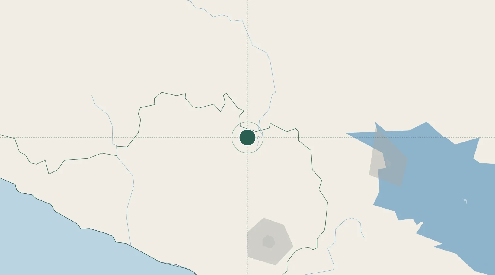
Nearby Logistics Neighbours

Cities
  1. 1Matarani205 km
  2. 2Abancay209 km
  3. 3Tambo Grande259 km
  4. 4Ilo279 km
  5. 5Puerto Carabuco296 km
Nearest neighbours — logibook spatial index (haversine) over the source coordinates
Ports
  1. 1Bahia De Matarani205 km
  2. 2Puerto Ilo276 km
  3. 3Bahia San Nicolas372 km
  4. 4Rada De Arica396 km
  5. 5Iquique583 km
Nearest neighbours — logibook spatial index (haversine) over the source coordinates
Airports
  1. 1Rodríguez Ballón International Airport130 km
  2. 2Inca Manco Capac International Airport176 km
  3. 3Alejandro Velasco Astete International Airport184 km
  4. 4Andahuaylas Airport237 km
  5. 5General Jorge Fernandez Maldon Airport283 km
Nearest neighbours — logibook spatial index (haversine) over the source coordinates
DatabookThe Record of Consolidated Knowledge
Peru beyond logistics?
Browse databook

All Sources

LocationsUN/LOCODE
UN/LOCODE — free
Portsthe NGA World Port Index
Public domain (US gov)
AirportsOurAirports
Public domain
Trade Zonesthe World Bank SEZ database
CC BY 4.0
Trade ZonesOpen Zone Map
CC BY
← Peru locations