Transport Functions
Port
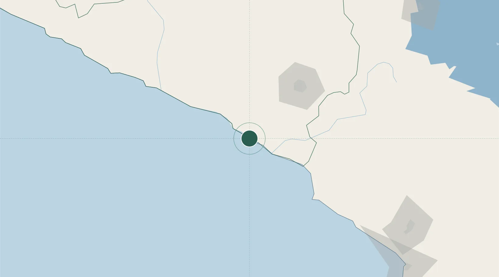
Hub Profile
Place type
Populated place
Region
Arequipa
Time zone
America/Lima
Elevation
53 m
Logistics facilities
1
Location
Nearby Logistics Neighbours
Cities
- 1Ilo108 km
- 2Cailloma205 km
- 3Tambo Grande234 km
- 4Arica250 km
- 5General Lagos272 km
Ports
- 1Puerto Ilo106 km
- 2Rada De Arica249 km
- 3Bahia San Nicolas387 km
- 4Iquique411 km
- 5Caleta Patillos461 km
Airports
DatabookThe Record of Consolidated Knowledge
Peru beyond logistics?