Large airport · Peru
Inca Manco Capac International AirportSPJL
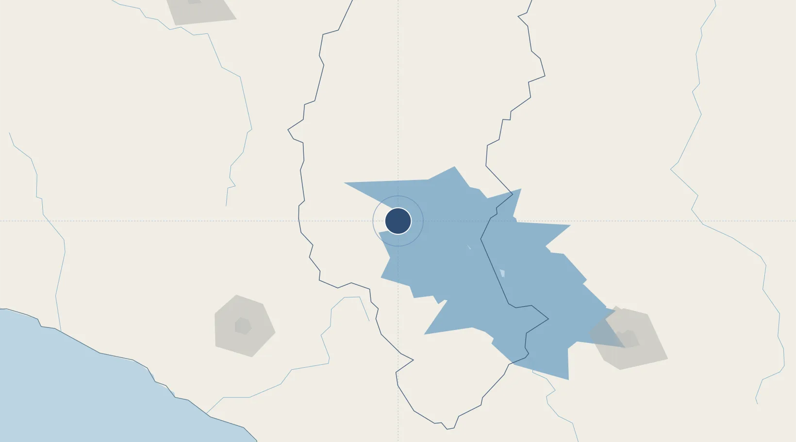
-15.4677°, -70.1565°
13,780 ft
Longest runway
1
Runways
12,552 ft
Elevation
Runway & Layout

Radio Frequencies
TWR
118.1 MHz
APP/TWR
Navaids
JUL VOR-DME Juliaca 115.55 MHz
Runways · 1
| Runway | Dimensions | Surface | True heading | Lit |
|---|---|---|---|---|
| 12/30 | 13,780 × 150ft | Asphalt | 112° | ✓ |
Airport Specifications
IATA code
JUL
ICAO code
SPJL
Airport class
Large airport
Scheduled service
Yes
Runway surface
Asphalt
Served city
Juliaca
Location
Nearby Logistics Neighbours
Airports
Cities
- 1Puerto Carabuco121 km
- 2Copacabana138 km
- 3Huatajata171 km
- 4Cailloma176 km
- 5Guaqui186 km
Ports
- 1Bahia De Matarani270 km
- 2Puerto Ilo273 km
- 3Rada De Arica334 km
- 4Iquique526 km
- 5Bahia San Nicolas545 km
DatabookThe Record of Consolidated Knowledge
Peru beyond logistics?