UN/LOCODE hub · Peru
PEILQ

Ilo

-17.6566°, -71.3538°
53,476
Population
3
Transport functions

Transport Functions

Port
Road
Airport
Ilo is also a profiled seaport →
UN/LOCODE

Hub Profile

Place type
District seat
GeoNames
Region
Moquegua Department
GeoNames
Population
53,476
GeoNames
Time zone
America/Lima
GeoNames
Elevation
22 m
GeoNames
Logistics facilities
3
UN/LOCODE

Location

Location of PEILQ
Natural Earth 10m (public domain) · Moquegua Department · PEILQ · -17.66, -71.35GoogleOSMYandex

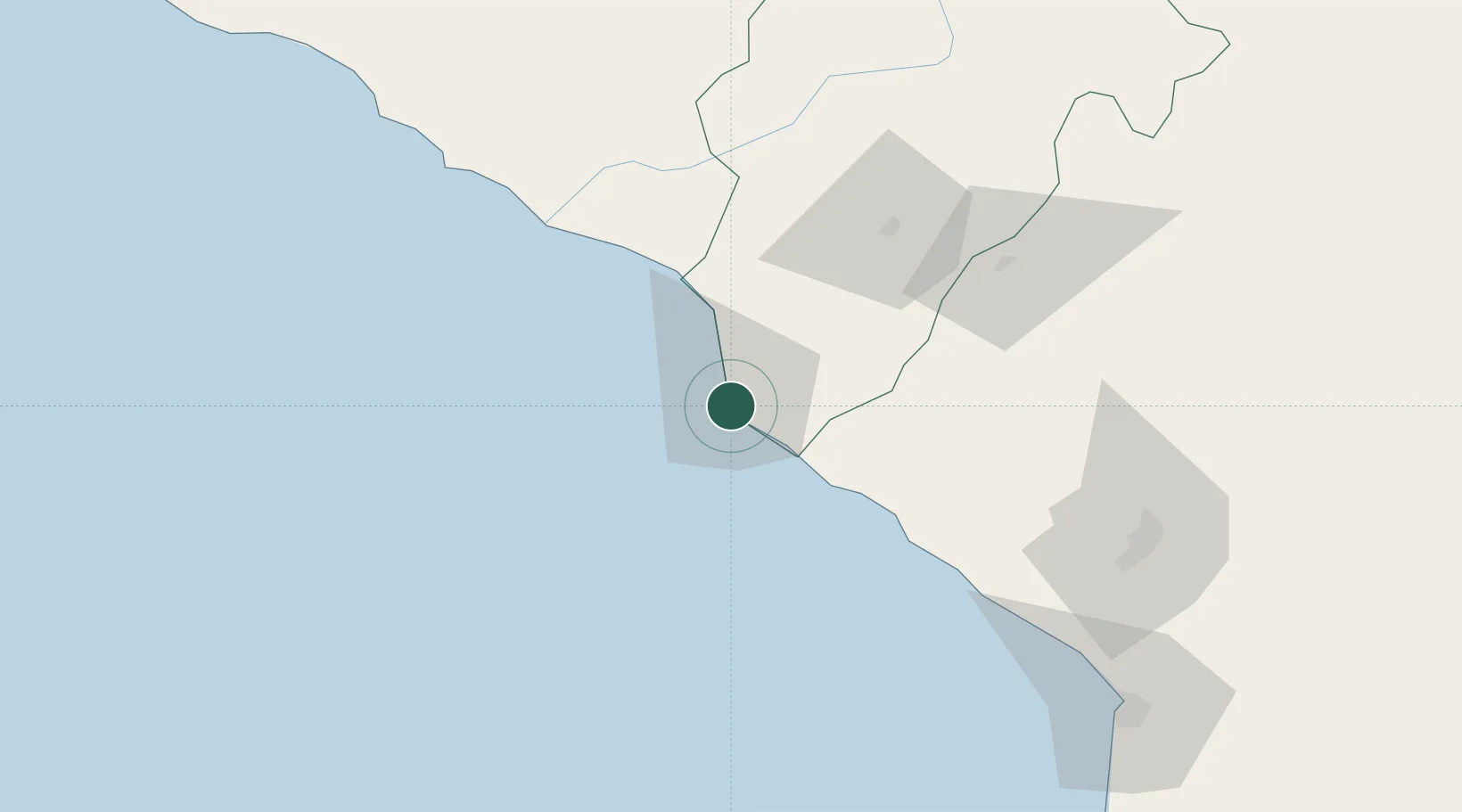
Nearby Logistics Neighbours

Cities
  1. 1Matarani108 km
  2. 2Arica142 km
  3. 3General Lagos182 km
  4. 4Guayubín218 km
  5. 5Pisagua248 km
Nearest neighbours — logibook spatial index (haversine) over the source coordinates
Ports
  1. 1Bahia De Matarani109 km
  2. 2Rada De Arica141 km
  3. 3Iquique309 km
  4. 4Caleta Patillos363 km
  5. 5Bahia San Nicolas493 km
Nearest neighbours — logibook spatial index (haversine) over the source coordinates
DatabookThe Record of Consolidated Knowledge
Peru beyond logistics?
Browse databook

All Sources

LocationsUN/LOCODE
UN/LOCODE — free
LocationsGeoNames
CC BY 4.0
Portsthe NGA World Port Index
Public domain (US gov)
AirportsOurAirports
Public domain
Trade Zonesthe World Bank SEZ database
CC BY 4.0
Trade ZonesOpen Zone Map
CC BY
← Peru locations