Medium airport · Peru
General Jorge Fernandez Maldon AirportSPLO
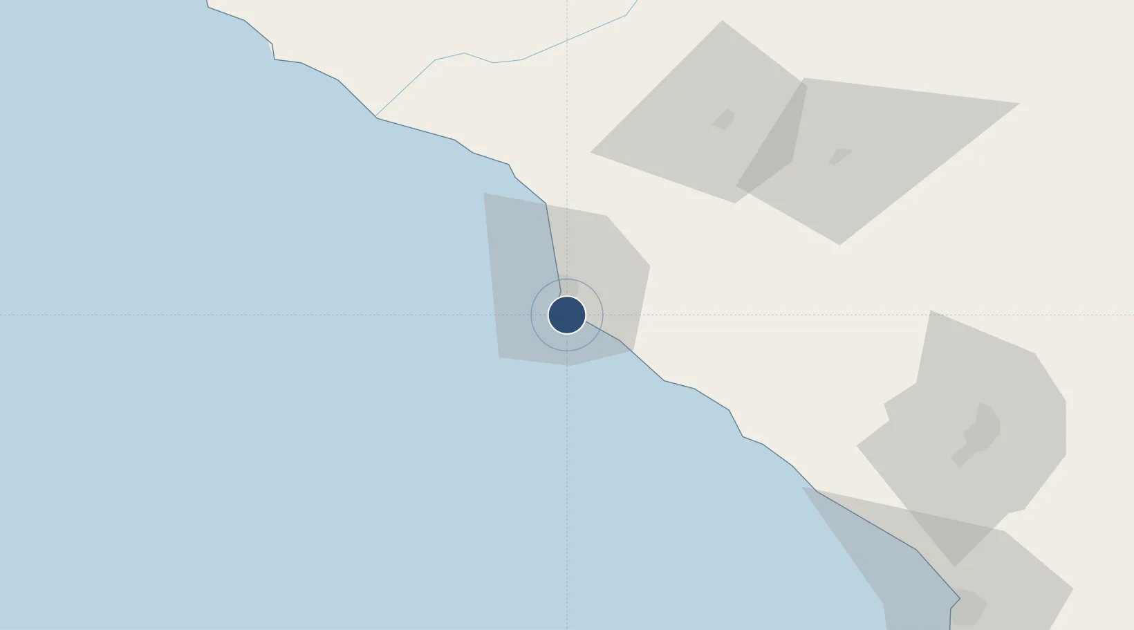
-17.6950°, -71.3440°
8,202 ft
Longest runway
1
Runways
72 ft
Elevation
Runway & Layout

Radio Frequencies
RDO
126.9 MHz
Navaids
ILO VOR Ilo 112.50 MHz
Runways · 1
| Runway | Dimensions | Surface | True heading | Lit |
|---|---|---|---|---|
| 12/30 | 8,202 × 148ft | Asphalt | 115° | — |
Airport Specifications
IATA code
ILQ
ICAO code
SPLO
Airport class
Medium airport
Scheduled service
Yes
Runway surface
Asphalt
Served city
Ilo
Location
Nearby Logistics Neighbours
Airports
Cities
- 1Ilo4 km
- 2Matarani112 km
- 3Arica139 km
- 4General Lagos181 km
- 5Guayubín214 km
Ports
- 1Puerto Ilo7 km
- 2Bahia De Matarani113 km
- 3Rada De Arica137 km
- 4Iquique305 km
- 5Caleta Patillos359 km
DatabookThe Record of Consolidated Knowledge
Peru beyond logistics?