Seaport · Chile
IquiqueCLIQQ
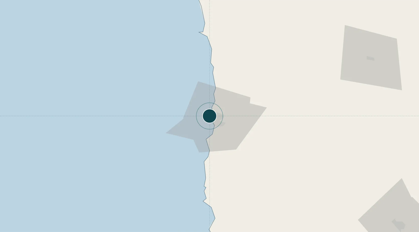
-20.2000°, -70.1667°
12.5 m
Channel depth
1
Container terminals
116.0
Port liner connectivity
Channel & Berth Profile
Pilotage, Tugs & Services
Pilotage compulsoryYES
Pilotage availableYES
Pilotage advisableYES
Tug assistanceYES
Salvage tugsYES
Shore powerYES
Potable waterYES
Diesel bunkersYES
MedicalYES
Garbage disposalNO
Facilities & Capabilities
Container—
Ro-Ro—
Liquid bulk—
Dry bulk—
Oil terminal—
Break bulk—
Dry dockNO
RepairsNO
BunkeringYES
Rail linkYES
Dangerous cargo—
ISPS security—
Harbour Specifications
Harbour size
Small
Harbour type
Coastal (Breakwater)
Shelter
Good
Water body
South Pacific Ocean
Tidal range
1 m
Overhead limit
Yes
Pilotage
Yes
Liner Connectivity
116
PLSCI
Port Liner Shipping Connectivity Index for Iquique, as published by UNCTAD for the latest available quarter. Higher values indicate stronger scheduled liner-shipping integration.
Shown relative to the highest per-port PLSCI in the dataset (1,657.9).
Location
Container Terminals · 1
ITI IQUIQUE
ITI IQUIQUE TERMINAL INTERNACIONAL S.A.
Nearby Logistics Neighbours
Ports
- 1Caleta Patillos59 km
- 2Rada De Arica194 km
- 3Tocopilla210 km
- 4Puerto Ilo312 km
- 5Mejillones324 km
Cities
- 1Patillos61 km
- 2Caleta Patillos61 km
- 3Puerto Patache67 km
- 4Pisagua67 km
- 5Punta Patache69 km
Airports
Trade Zones
DatabookThe Record of Consolidated Knowledge
Chile beyond logistics?