UN/LOCODE hub · Chile
CLARI
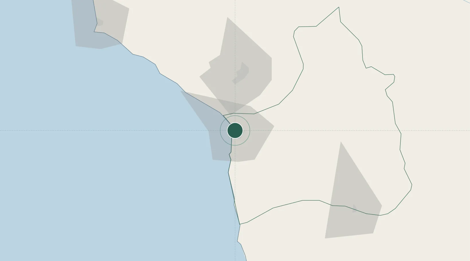
Arica
-18.4529°, -70.3047°
241,653
Population
3
Transport functions
1
Container terminals
Transport Functions
Port
Road
Airport
Hub Profile
Place type
Regional capital
Region
Arica y Parinacota Region
Population
241,653
Time zone
America/Santiago
Elevation
80 m
Logistics facilities
5
Container terminals
1
Location
Nearby Logistics Neighbours
Cities
- 1General Lagos114 km
- 2Pisagua128 km
- 3Ilo142 km
- 4Guayubín168 km
- 5Bavaro198 km
Ports
- 1Puerto Ilo145 km
- 2Iquique195 km
- 3Bahia De Matarani251 km
- 4Caleta Patillos254 km
- 5Tocopilla404 km
Airports
DatabookThe Record of Consolidated Knowledge
Chile beyond logistics?