Transport Functions
Rail
Road
Airport
Hub Profile
Place type
Provincial seat
Region
Punjab
Population
975,886
Time zone
Asia/Karachi
Elevation
187 m
Logistics facilities
2
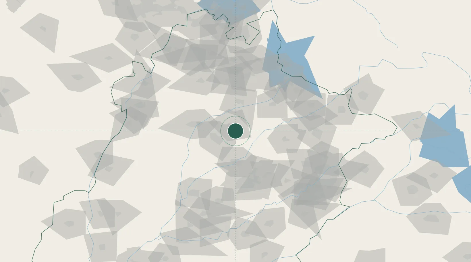
Location
Nearby Logistics Neighbours
Cities
- 1Faisalabad82 km
- 2Jhelum108 km
- 3Sialkot139 km
- 4Lahore147 km
- 5Jammu186 km
Ports
- 1Muhamamad Bin Qasim992 km
- 2Karachi1011 km
- 3Kandla1055 km
- 4Navlakhi1058 km
- 5Mandvi1101 km
Airports
- 1Mushaf Air Base33 km
- 2Faisalabad International Airport94 km
- 3Mangla Airport113 km
- 4Mianwali Air Base136 km
- 5Sialkot International Airport137 km
Trade Zones
DatabookThe Record of Consolidated Knowledge
Pakistan beyond logistics?