Medium airport · Pakistan

Rafiqui Air BaseOPRQ
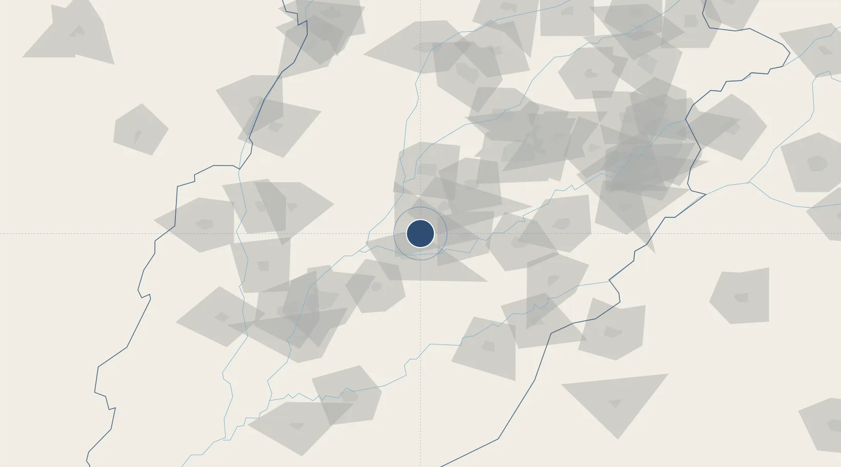
30.7581°, 72.2825°
10,000 ft
Longest runway
2
Runways
492 ft
Elevation

Runway & Layout

Rafiqui Air Base runway & taxiway layout
Runway & taxiway layout — OpenStreetMap (ODbL) / OurAirports

Runways · 2

RunwayDimensions SurfaceTrue headingLit
15/33 10,000 × 160ft ASPHALT 150°
15R/33L 9,621 × 100ft ASPHALT 150°
OurAirports

Airport Specifications

ICAO code
OPRQ
OurAirports
Airport class
Medium airport
OurAirports
Scheduled service
No
OurAirports
Runway surface
ASPHALT
OurAirports
Served city
Shorkot
OurAirports

Location

Location of OPRQ
Natural Earth 10m (public domain) · Punjab · OPRQ · 30.76, 72.28GoogleOSMYandex

Nearby Logistics Neighbours

Airports
  1. 1Faisalabad International Airport96 km
  2. 2Multan International Airport103 km
  3. 3Mushaf Air Base148 km
  4. 4Bahawalpur Airport166 km
  5. 5Dera Ismael Khan Airport [IN-ACTIVE]184 km
Nearest neighbours — logibook spatial index (haversine) over the source coordinates
Cities
  1. 1Multan104 km
  2. 2Faisalabad115 km
  3. 3Hasilpur128 km
  4. 4Sargodha174 km
  5. 5Lahore203 km
Nearest neighbours — logibook spatial index (haversine) over the source coordinates
Ports
  1. 1Muhamamad Bin Qasim824 km
  2. 2Karachi844 km
  3. 3Kandla883 km
  4. 4Navlakhi886 km
  5. 5Mandvi928 km
Nearest neighbours — logibook spatial index (haversine) over the source coordinates
Trade Zones
  1. 1Vehari Industrial Estate75 km
  2. 2Value Addition City126 km
  3. 3M-3 Industrial City129 km
  4. 4Allama Iqbal Industrial City Special Economic Zone137 km
  5. 5Bhalwal Industiral Estate182 km
Nearest neighbours — logibook spatial index (haversine) over the source coordinates
DatabookThe Record of Consolidated Knowledge
Pakistan beyond logistics?
Browse databook

All Sources

AirportsOurAirports
Public domain
Portsthe NGA World Port Index
Public domain (US gov)
LocationsUN/LOCODE
UN/LOCODE — free
Trade Zonesthe World Bank SEZ database
CC BY 4.0
Trade ZonesOpen Zone Map
CC BY
InfrastructureOpenStreetMap
ODbL 1.0
← Pakistan airports