Medium airport · Pakistan

Risalpur Air BaseOPRS
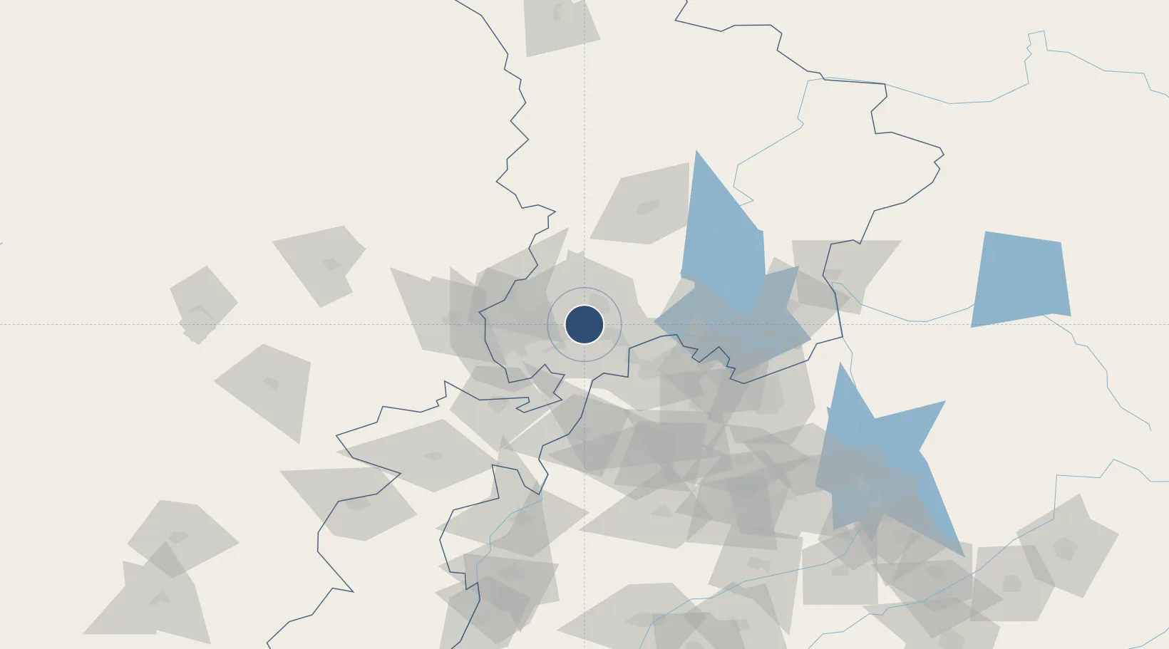
34.0811°, 71.9726°
9,085 ft
Longest runway
2
Runways
1,050 ft
Elevation

Runway & Layout

Risalpur Air Base runway & taxiway layout
Runway & taxiway layout — OpenStreetMap (ODbL) / OurAirports

Radio Frequencies

TWR
116.82 MHz
APP
125.6 MHz
CHERAT APP
OurAirports

Runways · 2

RunwayDimensions SurfaceTrue headingLit
09R/27L 9,085 × 164ft Asphalt 092°
09L/27R 5,840 × 164ft Asphalt 092°
OurAirports

Airport Specifications

ICAO code
OPRS
OurAirports
Airport class
Medium airport
OurAirports
Scheduled service
No
OurAirports
Runway surface
Asphalt
OurAirports
Served city
Risalpur
OurAirports

Location

Location of OPRS
Natural Earth 10m (public domain) · K.P. · OPRS · 34.08, 71.97GoogleOSMYandex

Nearby Logistics Neighbours

Airports
  1. 1Bacha Khan International Airport43 km
  2. 2Minhas Air Base46 km
  3. 3Saidu Sharif Airport89 km
  4. 4Islamabad International Airport99 km
  5. 5PAF Base Nur Khan (Benazir Bhutto International Airport)116 km
Nearest neighbours — logibook spatial index (haversine) over the source coordinates
Cities
  1. 1Hayatabad34 km
  2. 2Torkham89 km
  3. 3Qasim113 km
  4. 4Garhi Habibullah Khan134 km
  5. 5Jhelum207 km
Nearest neighbours — logibook spatial index (haversine) over the source coordinates
Ports
  1. 1Muhamamad Bin Qasim1128 km
  2. 2Karachi1141 km
  3. 3Kandla1240 km
  4. 4Navlakhi1246 km
  5. 5Mandvi1277 km
Nearest neighbours — logibook spatial index (haversine) over the source coordinates
Trade Zones
  1. 1Risalpur Export Processing Zone3 km
  2. 2Rashakai Nowshehra Special Economic Zone16 km
  3. 3Mohmand Marble City54 km
  4. 4Hattar Special Economic Zone83 km
  5. 5Islamabad Capital Territory Model Industrial Zone93 km
Nearest neighbours — logibook spatial index (haversine) over the source coordinates
DatabookThe Record of Consolidated Knowledge
Pakistan beyond logistics?
Browse databook

All Sources

AirportsOurAirports
Public domain
Portsthe NGA World Port Index
Public domain (US gov)
LocationsUN/LOCODE
UN/LOCODE — free
Trade Zonesthe World Bank SEZ database
CC BY 4.0
Trade ZonesOpen Zone Map
CC BY
InfrastructureOpenStreetMap
ODbL 1.0
← Pakistan airports