Small airport · Pakistan

Muzaffarabad AirportOPMF
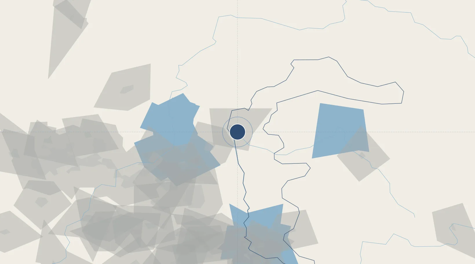
34.3388°, 73.5089°
3,000 ft
Longest runway
1
Runways
2,691 ft
Elevation

Runway & Layout

Muzaffarabad Airport runway & taxiway layout
Runway & taxiway layout — OpenStreetMap (ODbL) / OurAirports

Radio Frequencies

TWR
123.4 MHz
GND
121.8 MHz
TWR
OurAirports

Navaids

MF NDB Muzaffarabad 207 kHz
OurAirports

Runways · 1

RunwayDimensions SurfaceTrue headingLit
13/31 3,000 × 75ft Asphalt 132°
OurAirports

Airport Specifications

IATA code
MFG
OurAirports
ICAO code
OPMF
OurAirports
Airport class
Small airport
OurAirports
Scheduled service
Yes
OurAirports
Runway surface
Asphalt
OurAirports
Served city
Muzaffarabad
OurAirports

Location

Location of OPMF
Natural Earth 10m (public domain) · Azad Kashmir · OPMF · 34.34, 73.51GoogleOSMYandex

Nearby Logistics Neighbours

Airports
  1. 1Rawalakot Airport61 km
  2. 2PAF Base Nur Khan (Benazir Bhutto International Airport)89 km
  3. 3Islamabad International Airport108 km
  4. 4Minhas Air Base115 km
  5. 5Saidu Sharif Airport118 km
Nearest neighbours — logibook spatial index (haversine) over the source coordinates
Cities
  1. 1Garhi Habibullah Khan13 km
  2. 2Jhelum158 km
  3. 3Torkham158 km
  4. 4Hayatabad168 km
  5. 5Qasim196 km
Nearest neighbours — logibook spatial index (haversine) over the source coordinates
Ports
  1. 1Muhamamad Bin Qasim1219 km
  2. 2Karachi1235 km
  3. 3Kandla1297 km
  4. 4Navlakhi1300 km
  5. 5Mandvi1342 km
Nearest neighbours — logibook spatial index (haversine) over the source coordinates
Trade Zones
  1. 1Hattar Special Economic Zone79 km
  2. 2Oil Village Rawalpindi Special Economic Zone95 km
  3. 3Islamabad Capital Territory Model Industrial Zone103 km
  4. 4Rashakai Nowshehra Special Economic Zone129 km
  5. 5Risalpur Export Processing Zone142 km
Nearest neighbours — logibook spatial index (haversine) over the source coordinates
DatabookThe Record of Consolidated Knowledge
Pakistan beyond logistics?
Browse databook

All Sources

AirportsOurAirports
Public domain
Portsthe NGA World Port Index
Public domain (US gov)
LocationsUN/LOCODE
UN/LOCODE — free
Trade Zonesthe World Bank SEZ database
CC BY 4.0
Trade ZonesOpen Zone Map
CC BY
InfrastructureOpenStreetMap
ODbL 1.0
← Pakistan airports