Specialized Zone · Pakistan

Mohmand Marble City Under Development
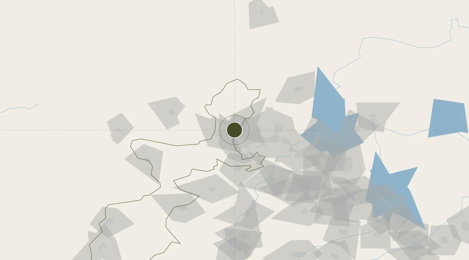
34.1759°, 71.3987°
142 ha
Zone area
1,117.0 km
Nearest port
22.9 km
Nearest airport

Gateway access

Nearest neighbours — logibook spatial index (haversine) over the source coordinates

Zone profile

Zone type
Specialized Zone
Open Zone Map
Specialization
Manufacturing
Open Zone Map
Region
F.A.T.A.
Open Zone Map
Status
Under Development
Open Zone Map
Management
Public
Open Zone Map
Operator
Pakistan Stone Development Company Islamabad (PASDEC)
Open Zone Map
Legal framework
Special Economic Zones Act, 2012
Open Zone Map

Location

Location of ozm-3050
Natural Earth 10m (public domain) · F.A.T.A. · ozm-3050 · 34.18, 71.40GoogleOSMYandex

Nearby Logistics Neighbours

Ports
  1. 1Muhamamad Bin Qasim1117 km
  2. 2Karachi1128 km
  3. 3Kandla1244 km
  4. 4Navlakhi1251 km
  5. 5Mandvi1277 km
Nearest neighbours — logibook spatial index (haversine) over the source coordinates
Airports
  1. 1Bacha Khan International Airport23 km
  2. 2Risalpur Air Base54 km
  3. 3Jalalabad Airport86 km
  4. 4Minhas Air Base99 km
  5. 5Saidu Sharif Airport113 km
Nearest neighbours — logibook spatial index (haversine) over the source coordinates
Cities
  1. 1Hayatabad28 km
  2. 2Torkham92 km
  3. 3Qasim96 km
  4. 4Garhi Habibullah Khan184 km
  5. 5Sharona215 km
Nearest neighbours — logibook spatial index (haversine) over the source coordinates
Trade Zones
  1. 1Risalpur Export Processing Zone55 km
  2. 2Rashakai Nowshehra Special Economic Zone70 km
  3. 3Jalalabad Special Economic Zone87 km
  4. 4Nangarhar Special Economic Zone87 km
  5. 5Hattar Special Economic Zone137 km
Nearest neighbours — logibook spatial index (haversine) over the source coordinates
DatabookThe Record of Consolidated Knowledge
Pakistan beyond logistics?
Browse databook

All Sources

Trade ZonesOpen Zone Map
CC BY
Portsthe NGA World Port Index
Public domain (US gov)
AirportsOurAirports
Public domain
LocationsUN/LOCODE
UN/LOCODE — free
← Pakistan trade zones