Diversified Zone · Pakistan

Rashakai Nowshehra Special Economic Zone Active

34.0656°, 72.1467°
405 ha
Zone area
1,133.2 km
Nearest port
16.1 km
Nearest airport

Gateway access

Nearest neighbours — logibook spatial index (haversine) over the source coordinates

Zone profile

Zone type
Diversified Zone
Open Zone Map
Region
K.P.
Open Zone Map
Status
Active
Open Zone Map
Management
Public
Open Zone Map
Operator
Khyber Pakhtunkhwa Economic Zones Development and Management Company (KPEZDMC)
Open Zone Map
Legal framework
Special Economic Zones Act, 2012
Open Zone Map

Location

Location of ozm-3037
Natural Earth 10m (public domain) · K.P. · ozm-3037 · 34.07, 72.15GoogleOSMYandex

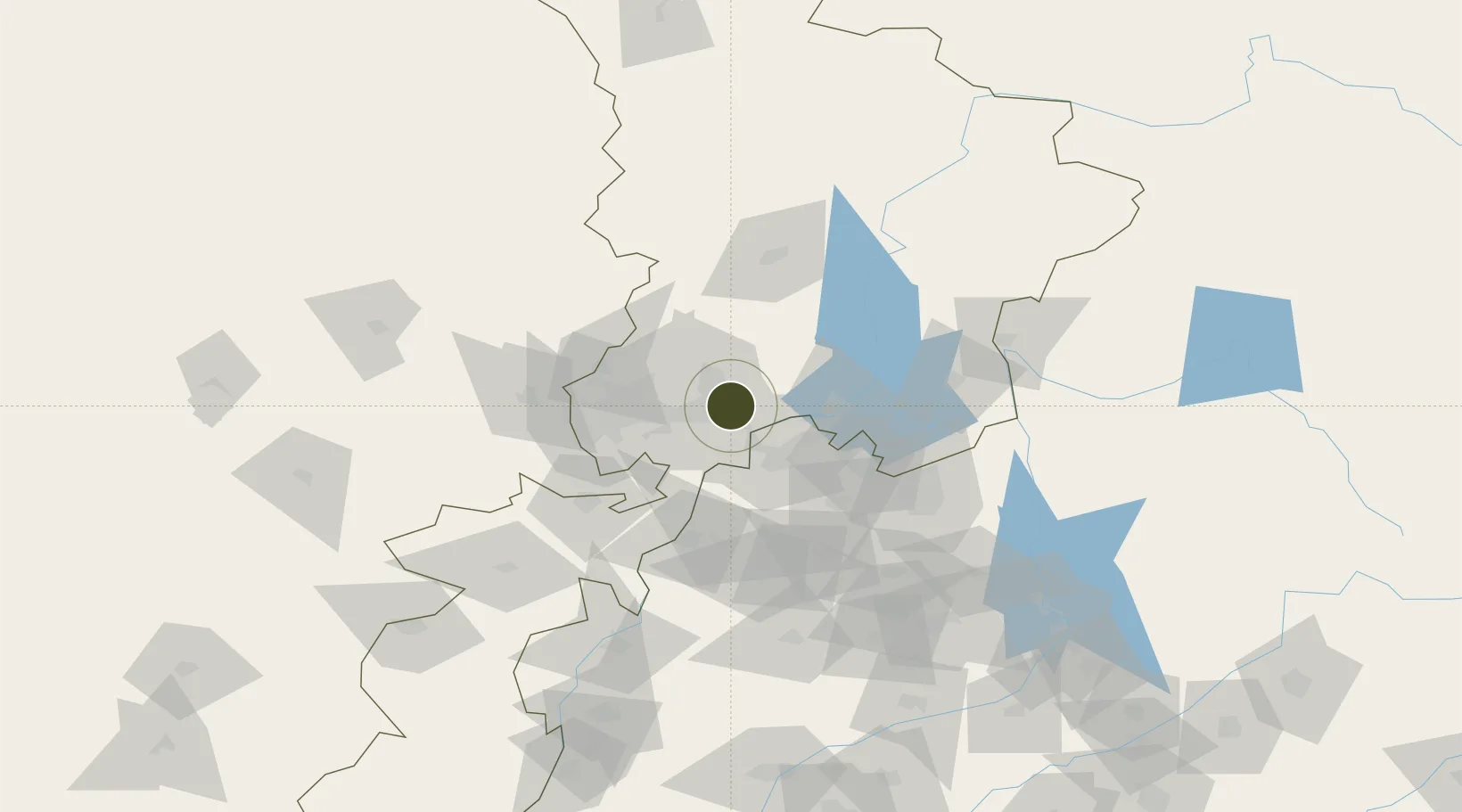
Nearby Logistics Neighbours

Ports
  1. 1Muhamamad Bin Qasim1133 km
  2. 2Karachi1146 km
  3. 3Kandla1241 km
  4. 4Navlakhi1246 km
  5. 5Mandvi1278 km
Nearest neighbours — logibook spatial index (haversine) over the source coordinates
Airports
  1. 1Risalpur Air Base16 km
  2. 2Minhas Air Base32 km
  3. 3Bacha Khan International Airport59 km
  4. 4Islamabad International Airport85 km
  5. 5Saidu Sharif Airport85 km
Nearest neighbours — logibook spatial index (haversine) over the source coordinates
Cities
  1. 1Hayatabad48 km
  2. 2Torkham93 km
  3. 3Garhi Habibullah Khan120 km
  4. 4Qasim121 km
  5. 5Jhelum194 km
Nearest neighbours — logibook spatial index (haversine) over the source coordinates
Trade Zones
  1. 1Risalpur Export Processing Zone15 km
  2. 2Hattar Special Economic Zone67 km
  3. 3Mohmand Marble City70 km
  4. 4Islamabad Capital Territory Model Industrial Zone79 km
  5. 5Oil Village Rawalpindi Special Economic Zone93 km
Nearest neighbours — logibook spatial index (haversine) over the source coordinates
DatabookThe Record of Consolidated Knowledge
Pakistan beyond logistics?
Browse databook

All Sources

Trade ZonesOpen Zone Map
CC BY
Portsthe NGA World Port Index
Public domain (US gov)
AirportsOurAirports
Public domain
LocationsUN/LOCODE
UN/LOCODE — free
← Pakistan trade zones