Export Processing Zone · Pakistan

Risalpur Export Processing Zone
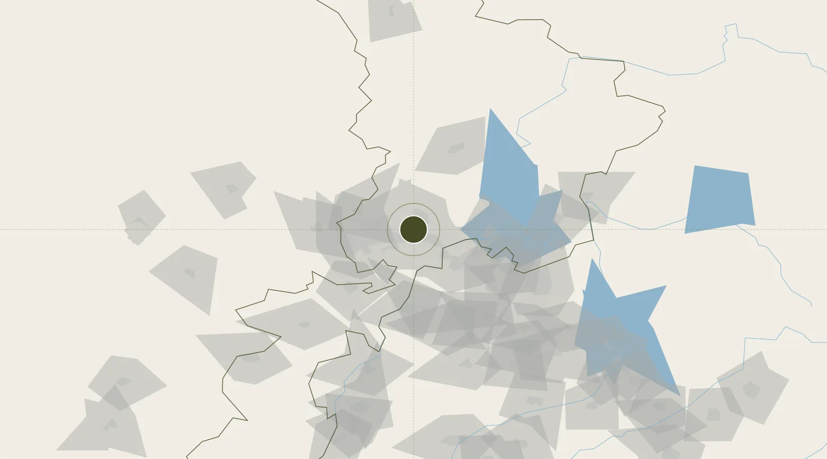
34.0974°, 71.9934°
81 ha
Zone area
1,130.4 km
Nearest port
2.6 km
Nearest airport

Gateway access

Nearest neighbours — logibook spatial index (haversine) over the source coordinates

Zone profile

Zone type
Export Processing Zone
the World Bank SEZ database
Region
K.P.
the World Bank SEZ database
Established
1999
the World Bank SEZ database
Management
PPP
the World Bank SEZ database
Operator
Sarhad Development Authority and EPZA
the World Bank SEZ database
Regulatory authority
Export Processing Zone Authority (EPZA)
the World Bank SEZ database
Legal framework
Export Processing Zone Authority Laws, Rules and Regulations
the World Bank SEZ database

Location

Location of PAK3
Natural Earth 10m (public domain) · K.P. · PAK3 · 34.10, 71.99GoogleOSMYandex

Fiscal & incentives

Corporate tax
32%
the World Bank SEZ database
Tax relief
Reduced fixed-rate at 1%
the World Bank SEZ database
Relief duration
Perpetual
the World Bank SEZ database
VAT
100% exempt from sales tax on inputs goods and utility consumption
the World Bank SEZ database
Import duty (inputs)
100% exempt
the World Bank SEZ database
Import duty (capex)
100% exempt
the World Bank SEZ database
Profit repatriation
No exemption
the World Bank SEZ database
Capital gains
No exemption
the World Bank SEZ database
Withholding tax
No exemption
the World Bank SEZ database
Min. investment
None
the World Bank SEZ database
Min. export
100%
the World Bank SEZ database
Employment incentive
No exemption
the World Bank SEZ database
Developer incentive
No established framework
the World Bank SEZ database

Nearby Logistics Neighbours

Ports
  1. 1Muhamamad Bin Qasim1130 km
  2. 2Karachi1143 km
  3. 3Kandla1242 km
  4. 4Navlakhi1248 km
  5. 5Mandvi1279 km
Nearest neighbours — logibook spatial index (haversine) over the source coordinates
Airports
  1. 1Risalpur Air Base3 km
  2. 2Minhas Air Base45 km
  3. 3Bacha Khan International Airport46 km
  4. 4Saidu Sharif Airport86 km
  5. 5Islamabad International Airport98 km
Nearest neighbours — logibook spatial index (haversine) over the source coordinates
Cities
  1. 1Hayatabad34 km
  2. 2Torkham88 km
  3. 3Qasim112 km
  4. 4Garhi Habibullah Khan132 km
  5. 5Jhelum207 km
Nearest neighbours — logibook spatial index (haversine) over the source coordinates
Trade Zones
  1. 1Rashakai Nowshehra Special Economic Zone15 km
  2. 2Mohmand Marble City55 km
  3. 3Hattar Special Economic Zone82 km
  4. 4Islamabad Capital Territory Model Industrial Zone92 km
  5. 5Oil Village Rawalpindi Special Economic Zone106 km
Nearest neighbours — logibook spatial index (haversine) over the source coordinates
DatabookThe Record of Consolidated Knowledge
Pakistan beyond logistics?
Browse databook

All Sources

Trade Zonesthe World Bank SEZ database
CC BY 4.0
Portsthe NGA World Port Index
Public domain (US gov)
AirportsOurAirports
Public domain
LocationsUN/LOCODE
UN/LOCODE — free
← Pakistan trade zones