Diversified Zone · Pakistan

Hattar Special Economic Zone Under Development

33.8866°, 72.8431°
178 ha
Zone area
1,144.9 km
Nearest port
37.6 km
Nearest airport

Gateway access

Nearest neighbours — logibook spatial index (haversine) over the source coordinates

Zone profile

Zone type
Diversified Zone
Open Zone Map
Region
K.P.
Open Zone Map
Status
Under Development
Open Zone Map
Management
Public
Open Zone Map
Operator
Khyber Pakhtunkhwa Economic Zones Development and Management Company (KPEZDMC)
Open Zone Map
Legal framework
Special Economic Zones Act, 2012
Open Zone Map

Location

Location of ozm-3027
Natural Earth 10m (public domain) · K.P. · ozm-3027 · 33.89, 72.84GoogleOSMYandex

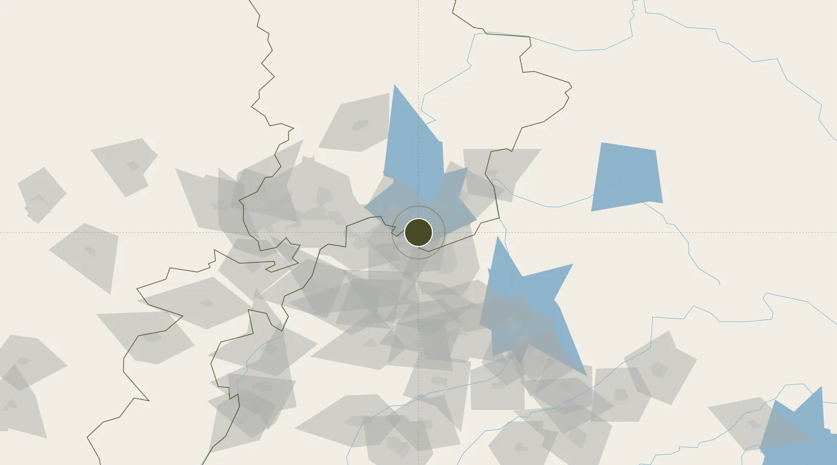
Nearby Logistics Neighbours

Ports
  1. 1Muhamamad Bin Qasim1145 km
  2. 2Karachi1160 km
  3. 3Kandla1234 km
  4. 4Navlakhi1238 km
  5. 5Mandvi1275 km
Nearest neighbours — logibook spatial index (haversine) over the source coordinates
Airports
  1. 1Islamabad International Airport38 km
  2. 2PAF Base Nur Khan (Benazir Bhutto International Airport)38 km
  3. 3Minhas Air Base41 km
  4. 4Muzaffarabad Airport79 km
  5. 5Risalpur Air Base83 km
Nearest neighbours — logibook spatial index (haversine) over the source coordinates
Cities
  1. 1Garhi Habibullah Khan76 km
  2. 2Hayatabad115 km
  3. 3Jhelum134 km
  4. 4Torkham140 km
  5. 5Qasim175 km
Nearest neighbours — logibook spatial index (haversine) over the source coordinates
Trade Zones
  1. 1Islamabad Capital Territory Model Industrial Zone30 km
  2. 2Oil Village Rawalpindi Special Economic Zone34 km
  3. 3Rashakai Nowshehra Special Economic Zone67 km
  4. 4Risalpur Export Processing Zone82 km
  5. 5Mohmand Marble City137 km
Nearest neighbours — logibook spatial index (haversine) over the source coordinates
DatabookThe Record of Consolidated Knowledge
Pakistan beyond logistics?
Browse databook

All Sources

Trade ZonesOpen Zone Map
CC BY
Portsthe NGA World Port Index
Public domain (US gov)
AirportsOurAirports
Public domain
LocationsUN/LOCODE
UN/LOCODE — free
← Pakistan trade zones