Large airport · Pakistan
Islamabad International AirportOPIS
33.5490°, 72.8257°
12,001 ft
Longest runway
2
Runways
1,761 ft
Elevation
Runway & Layout

Radio Frequencies
Tower
122.15 MHz
Islamabad Tower
Tower
123.255 MHz
Islamabad Tower
Ground
122.95 MHz
Islamabad Ground
Ground
130.6 MHz
Islamabad ZGround
APP
121.65 MHz
Islamabad Approach
APP
124.65 MHz
Islamabad Approach
DEP
118.55 MHz
Islamabad Departure
DEP
119.65 MHz
Islamabad Departure
GMC
123.05 MHz
GMC
125.15 MHz
Runways · 2
| Runway | Dimensions | Surface | True heading | Lit |
|---|---|---|---|---|
| 10L/28R | 12,001 × 147ft | Asphalt | 101° | ✓ |
| 10R/28L | 12,001 × 197ft | Asphalt | 100° | ✓ |
Airport Specifications
IATA code
ISB
ICAO code
OPIS
Airport class
Large airport
Scheduled service
Yes
Runway surface
Asphalt
Served city
Attock
Location
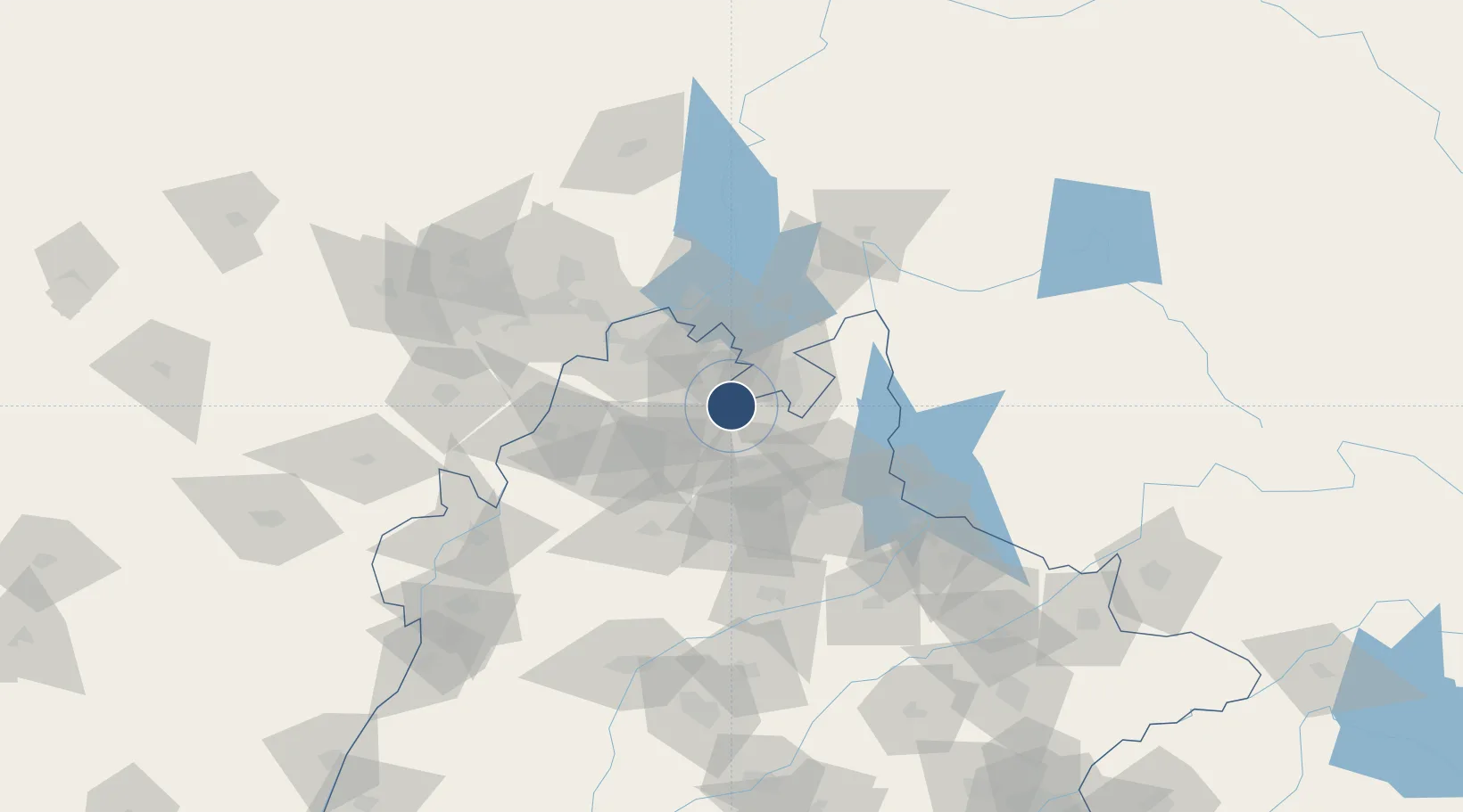
Nearby Logistics Neighbours
Airports
- 1PAF Base Nur Khan (Benazir Bhutto International Airport)26 km
- 2Minhas Air Base53 km
- 3Mangla Airport94 km
- 4Rawalakot Airport96 km
- 5Risalpur Air Base99 km
Cities
- 1Garhi Habibullah Khan108 km
- 2Jhelum109 km
- 3Hayatabad132 km
- 4Sargodha149 km
- 5Torkham170 km
Ports
- 1Muhamamad Bin Qasim1111 km
- 2Karachi1127 km
- 3Kandla1197 km
- 4Navlakhi1201 km
- 5Mandvi1239 km
DatabookThe Record of Consolidated Knowledge
Pakistan beyond logistics?