Diversified Zone · Pakistan

Islamabad Capital Territory Model Industrial Zone Under Development
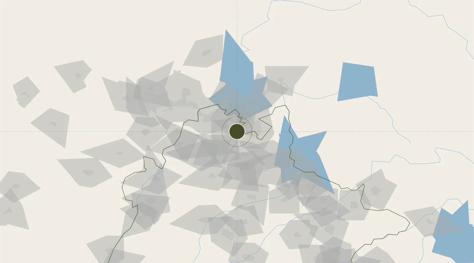
33.6164°, 72.8059°
81 ha
Zone area
1,117.0 km
Nearest port
7.7 km
Nearest airport

Gateway access

Nearest neighbours — logibook spatial index (haversine) over the source coordinates

Zone profile

Zone type
Diversified Zone
Open Zone Map
Region
Punjab
Open Zone Map
Status
Under Development
Open Zone Map
Management
Public
Open Zone Map
Operator
National Industrial Parks Development & Management Company (NIP)
Open Zone Map
Legal framework
Special Economic Zones Act, 2012
Open Zone Map

Location

Location of ozm-3029
Natural Earth 10m (public domain) · Punjab · ozm-3029 · 33.62, 72.81GoogleOSMYandex

Nearby Logistics Neighbours

Ports
  1. 1Muhamamad Bin Qasim1117 km
  2. 2Karachi1133 km
  3. 3Kandla1204 km
  4. 4Navlakhi1208 km
  5. 5Mandvi1246 km
Nearest neighbours — logibook spatial index (haversine) over the source coordinates
Airports
  1. 1Islamabad International Airport8 km
  2. 2PAF Base Nur Khan (Benazir Bhutto International Airport)27 km
  3. 3Minhas Air Base47 km
  4. 4Risalpur Air Base93 km
  5. 5Rawalakot Airport95 km
Nearest neighbours — logibook spatial index (haversine) over the source coordinates
Cities
  1. 1Garhi Habibullah Khan102 km
  2. 2Jhelum115 km
  3. 3Hayatabad126 km
  4. 4Sargodha157 km
  5. 5Torkham163 km
Nearest neighbours — logibook spatial index (haversine) over the source coordinates
Trade Zones
  1. 1Oil Village Rawalpindi Special Economic Zone16 km
  2. 2Hattar Special Economic Zone30 km
  3. 3Rashakai Nowshehra Special Economic Zone79 km
  4. 4Risalpur Export Processing Zone92 km
  5. 5Mohmand Marble City144 km
Nearest neighbours — logibook spatial index (haversine) over the source coordinates
DatabookThe Record of Consolidated Knowledge
Pakistan beyond logistics?
Browse databook

All Sources

Trade ZonesOpen Zone Map
CC BY
Portsthe NGA World Port Index
Public domain (US gov)
AirportsOurAirports
Public domain
LocationsUN/LOCODE
UN/LOCODE — free
← Pakistan trade zones