Medium airport · Pakistan

PAF Base Nur Khan (Benazir Bhutto International Airport)OPRN
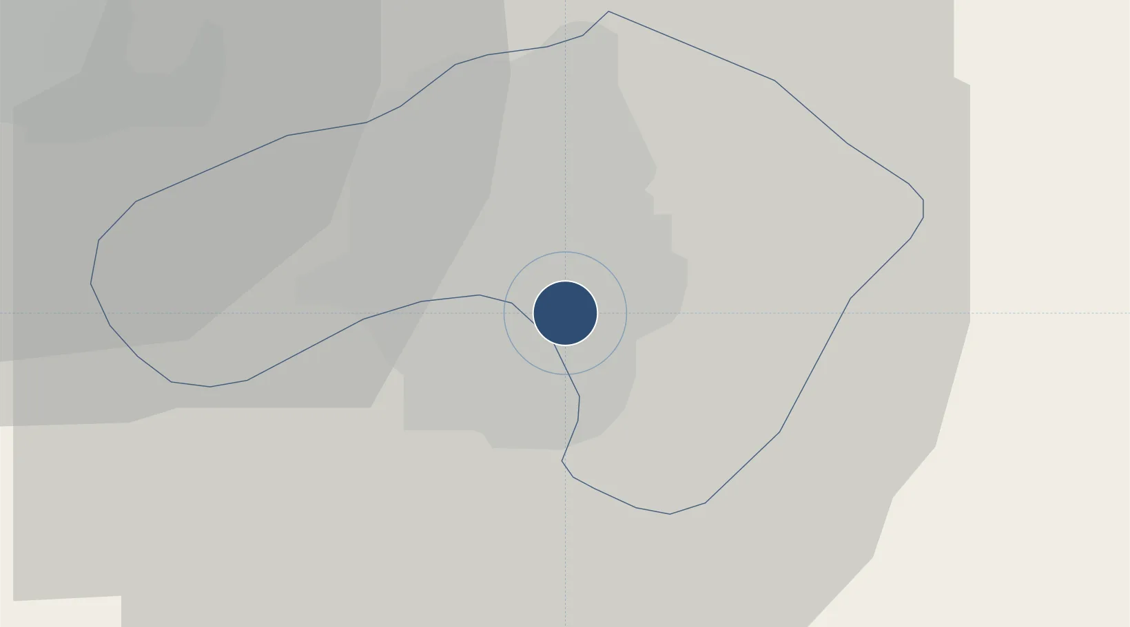
33.6167°, 73.0992°
10,785 ft
Longest runway
1
Runways
1,668 ft
Elevation

Runway & Layout

PAF Base Nur Khan (Benazir Bhutto International Airport) runway & taxiway layout
Runway & taxiway layout — OpenStreetMap (ODbL) / OurAirports

Radio Frequencies

ATIS
129.6 MHz
TWR
123.7 MHz
APP
124.9 MHz
ISLAMABAD APP
APP
125.6 MHz
CHERAT APP
OurAirports

Navaids

RN VOR-DME Islamabad 112.10 MHz
RN NDB Islamabad 344 kHz
OurAirports

Runways · 1

RunwayDimensions SurfaceTrue headingLit
12/30 10,785 × 150ft Asphalt 118°
OurAirports

Airport Specifications

ICAO code
OPRN
OurAirports
Airport class
Medium airport
OurAirports
Scheduled service
No
OurAirports
Runway surface
Asphalt
OurAirports
Served city
Rawalpindi
OurAirports

Location

Location of OPRN
Natural Earth 10m (public domain) · F.C.T. · OPRN · 33.62, 73.10GoogleOSMYandex

Nearby Logistics Neighbours

Airports
  1. 1Islamabad International Airport26 km
  2. 2Rawalakot Airport70 km
  3. 3Minhas Air Base70 km
  4. 4Mangla Airport81 km
  5. 5Muzaffarabad Airport89 km
Nearest neighbours — logibook spatial index (haversine) over the source coordinates
Cities
  1. 1Garhi Habibullah Khan91 km
  2. 2Jhelum96 km
  3. 3Hayatabad149 km
  4. 4Sargodha157 km
  5. 5Sialkot175 km
Nearest neighbours — logibook spatial index (haversine) over the source coordinates
Ports
  1. 1Muhamamad Bin Qasim1131 km
  2. 2Karachi1147 km
  3. 3Kandla1210 km
  4. 4Navlakhi1213 km
  5. 5Mandvi1254 km
Nearest neighbours — logibook spatial index (haversine) over the source coordinates
Trade Zones
  1. 1Oil Village Rawalpindi Special Economic Zone11 km
  2. 2Islamabad Capital Territory Model Industrial Zone27 km
  3. 3Hattar Special Economic Zone38 km
  4. 4Rashakai Nowshehra Special Economic Zone101 km
  5. 5Risalpur Export Processing Zone115 km
Nearest neighbours — logibook spatial index (haversine) over the source coordinates
DatabookThe Record of Consolidated Knowledge
Pakistan beyond logistics?
Browse databook

All Sources

AirportsOurAirports
Public domain
Portsthe NGA World Port Index
Public domain (US gov)
LocationsUN/LOCODE
UN/LOCODE — free
Trade Zonesthe World Bank SEZ database
CC BY 4.0
Trade ZonesOpen Zone Map
CC BY
InfrastructureOpenStreetMap
ODbL 1.0
← Pakistan airports