Export Processing Zone · Nigeria

Ibom Industrial City Free Zone Active
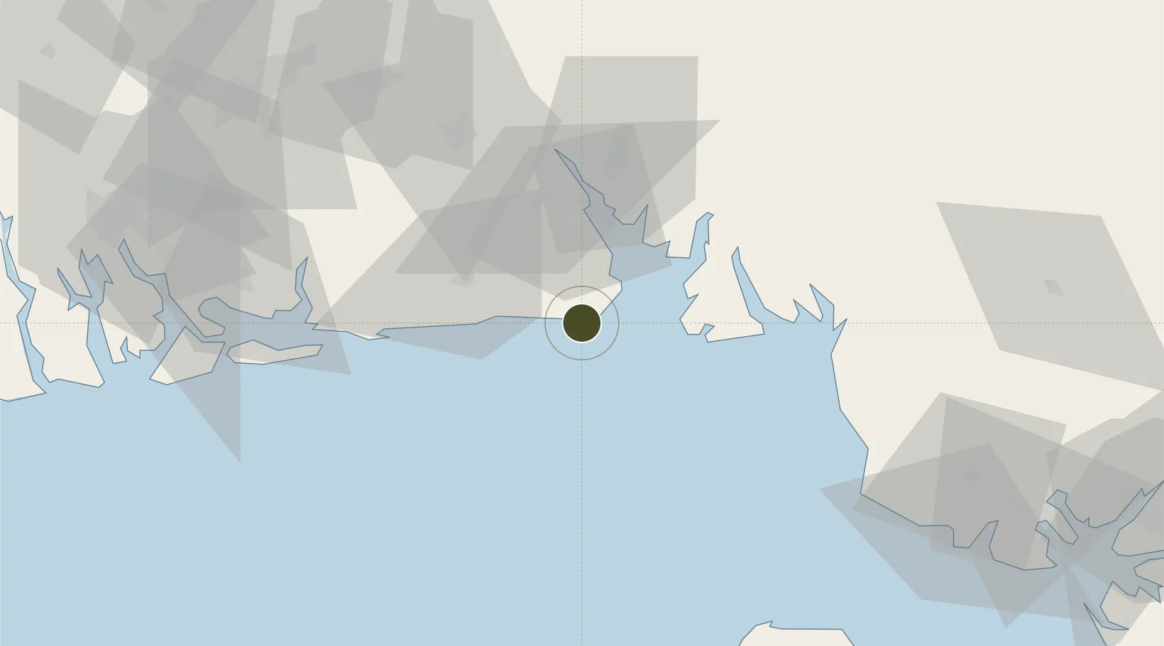
4.5413°, 8.2527°
14,500 ha
Zone area
37.2 km
Nearest port
40.9 km
Nearest airport

Gateway access

Nearest neighbours — logibook spatial index (haversine) over the source coordinates

Zone profile

Zone type
Export Processing Zone
Open Zone Map
Region
Akwa Ibom
Open Zone Map
Status
Active
Open Zone Map
Management
Public
Open Zone Map
Operator
Akwa Ibom State Government
Open Zone Map
Legal framework
Section 10 (4) of the Nigeria Export Processing Zones Act No 63 of 1992
Open Zone Map

Location

Location of ozm-2972
Natural Earth 10m (public domain) · Akwa Ibom · ozm-2972 · 4.54, 8.25GoogleOSMYandex

Nearby Logistics Neighbours

Ports
  1. 1Antan Oil Terminal37 km
  2. 2Qua Iboe Oil Terminal42 km
  3. 3Kole Oil Terminal46 km
  4. 4Calabar48 km
  5. 5Moudi Marine Terminal54 km
Nearest neighbours — logibook spatial index (haversine) over the source coordinates
Airports
  1. 1Akwa Ibom International Airport41 km
  2. 2Margaret Ekpo International Airport50 km
  3. 3Malabo International Airport101 km
  4. 4Tiko Airport133 km
  5. 5Port Harcourt City Airport / Port Harcourt Air Force Base141 km
Nearest neighbours — logibook spatial index (haversine) over the source coordinates
Cities
  1. 1Antan37 km
  2. 2Moudi Terminal54 km
  3. 3Zafiro Terminal78 km
  4. 4Serpentina Terminal85 km
  5. 5Punta Europa Terminal99 km
Nearest neighbours — logibook spatial index (haversine) over the source coordinates
DatabookThe Record of Consolidated Knowledge
Nigeria beyond logistics?
Browse databook

All Sources

Trade ZonesOpen Zone Map
CC BY
Portsthe NGA World Port Index
Public domain (US gov)
AirportsOurAirports
Public domain
LocationsUN/LOCODE
UN/LOCODE — free
← Nigeria trade zones