Transport Functions
Multimodal
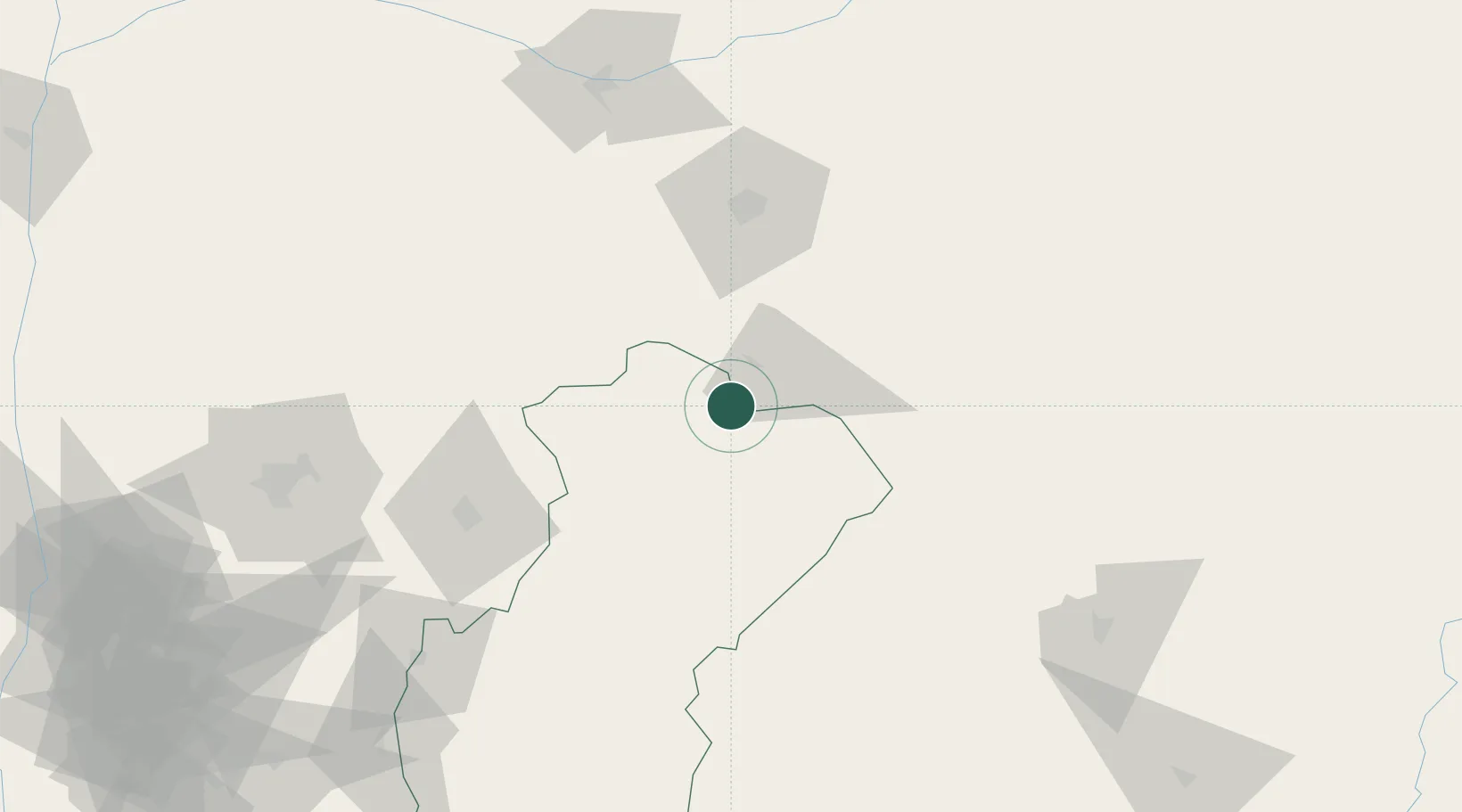
Hub Profile
Place type
Populated place
Region
Cross River State
Time zone
Africa/Lagos
Elevation
121 m
Location
Nearby Logistics Neighbours
Cities
- 1Mararaba179 km
- 2Anambra185 km
- 3Nkongsamba222 km
- 4Awka231 km
- 5Kumba234 km
Ports
- 1Calabar204 km
- 2Kole Oil Terminal275 km
- 3Antan Oil Terminal283 km
- 4Moudi Marine Terminal290 km
- 5Qua Iboe Oil Terminal291 km
Airports
- 1Makurdi Airport120 km
- 2Bamenda Airport146 km
- 3Akanu Ibiam International Airport157 km
- 4Bafoussam Airport200 km
- 5Margaret Ekpo International Airport202 km
Trade Zones
- 1Ebonyi Export Processing Zone102 km
- 2Enpower Enugu Free Zone157 km
- 3Tinapa Free Zone & Resort195 km
- 4Calabar Free Trade Zone198 km
- 5Banengo Industrial Zone209 km
DatabookThe Record of Consolidated Knowledge
Nigeria beyond logistics?