Large airport · Nigeria

Sir Abubakar Tafawa Balewa Bauchi State International AirportDNBC
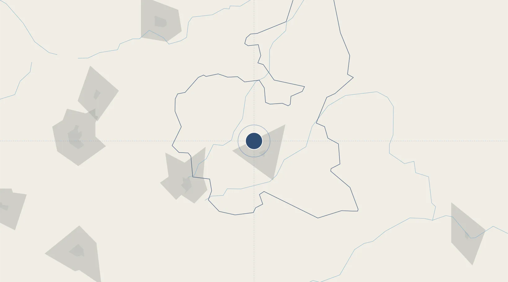
10.4828°, 9.7440°
11,154 ft
Longest runway
1
Runways
1,965 ft
Elevation

Runway & Layout

Sir Abubakar Tafawa Balewa Bauchi State International Airport runway & taxiway layout
Runway & taxiway layout — OpenStreetMap (ODbL) / OurAirports

Radio Frequencies

TWR
124.5 MHz
OurAirports

Runways · 1

RunwayDimensions SurfaceTrue headingLit
17/35 11,154 × 148ft Asphalt
OurAirports

Airport Specifications

IATA code
BCU
OurAirports
ICAO code
DNBC
OurAirports
Airport class
Large airport
OurAirports
Scheduled service
Yes
OurAirports
Runway surface
Asphalt
OurAirports
Served city
Bauchi
OurAirports

Location

Location of DNBC
Natural Earth 10m (public domain) · Bauchi · DNBC · 10.48, 9.74GoogleOSMYandex

Nearby Logistics Neighbours

Airports
  1. 1Gombe Lawanti International Airport128 km
  2. 2Yakubu Gowon Airport134 km
  3. 3Mallam Aminu Kano International Airport219 km
  4. 4Zaria Airport236 km
  5. 5Kaduna International Airport266 km
Nearest neighbours — logibook spatial index (haversine) over the source coordinates
Cities
  1. 1Gombe157 km
  2. 2Anta181 km
  3. 3Kano215 km
  4. 4Zamfarawa254 km
  5. 5Maitama292 km
Nearest neighbours — logibook spatial index (haversine) over the source coordinates
Ports
  1. 1Calabar633 km
  2. 2Sapele678 km
  3. 3Koko686 km
  4. 4Port Harcourt704 km
  5. 5Okrika705 km
Nearest neighbours — logibook spatial index (haversine) over the source coordinates
Trade Zones
  1. 1Kano Free Trade Zone220 km
  2. 2Maigatari Border Free Trade Zone262 km
  3. 3Abuja Tech. Village Free Zone292 km
  4. 4Sebore Farms Export Processing Zone293 km
  5. 5Abuja Technology Village Free Zone307 km
Nearest neighbours — logibook spatial index (haversine) over the source coordinates
DatabookThe Record of Consolidated Knowledge
Nigeria beyond logistics?
Browse databook

All Sources

AirportsOurAirports
Public domain
Portsthe NGA World Port Index
Public domain (US gov)
LocationsUN/LOCODE
UN/LOCODE — free
Trade Zonesthe World Bank SEZ database
CC BY 4.0
Trade ZonesOpen Zone Map
CC BY
InfrastructureOpenStreetMap
ODbL 1.0
← Nigeria airports