Free Trade Zone · Niger

Dosso Dry Port Under Development
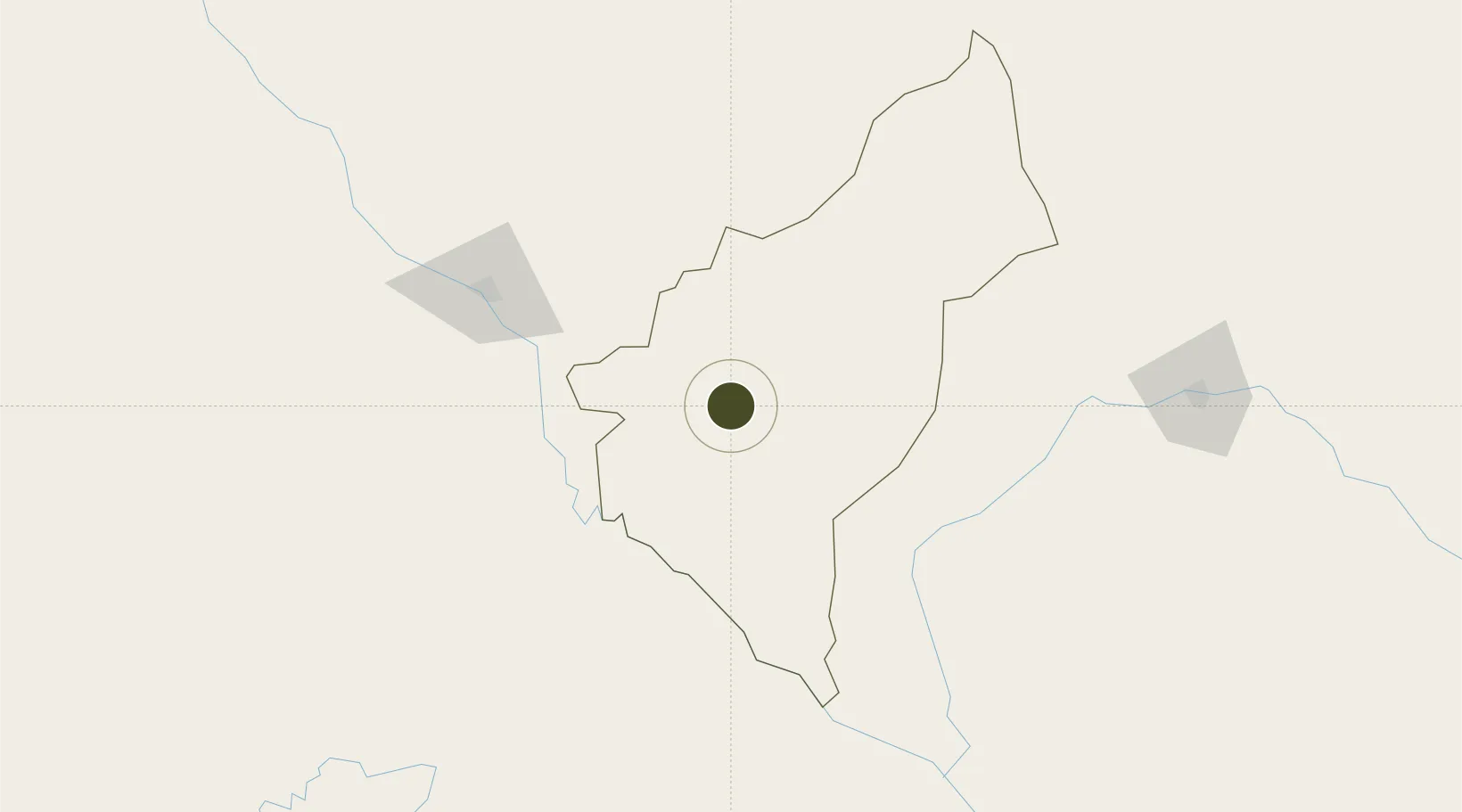
13.0145°, 3.1949°
480 ha
Zone area
735.8 km
Nearest port
121.1 km
Nearest airport

Gateway access

Nearest neighbours — logibook spatial index (haversine) over the source coordinates

Zone profile

Zone type
Free Trade Zone
Open Zone Map
Region
Dosso
Open Zone Map
Status
Under Development
Open Zone Map
Management
Public
Open Zone Map
Operator
Mali Ministry of Industry, Investments & Commerce
Open Zone Map
Legal framework
Law No. 2014-09 on Foreign Investment
Open Zone Map

Location

Location of ozm-2945
Natural Earth 10m (public domain) · Dosso · ozm-2945 · 13.01, 3.19GoogleOSMYandex

Nearby Logistics Neighbours

Ports
  1. 1Lagos736 km
  2. 2Tin Can Island741 km
  3. 3Cotonou746 km
  4. 4Kpeme780 km
  5. 5Lome793 km
Nearest neighbours — logibook spatial index (haversine) over the source coordinates
Airports
  1. 1Diori Hamani International Airport121 km
  2. 2Sir Ahmadu Bello International Airport141 km
  3. 3Sadiq Abubakar III International Airport218 km
  4. 4Tahoua Airport305 km
  5. 5Gusau Airport391 km
Nearest neighbours — logibook spatial index (haversine) over the source coordinates
Cities
  1. 1Gaya128 km
  2. 2Kebbi195 km
  3. 3Katsina476 km
  4. 4Ziniaré490 km
  5. 5Ogudu499 km
Nearest neighbours — logibook spatial index (haversine) over the source coordinates
Trade Zones
  1. 1Plateau de Bougoum Industrial Zone132 km
  2. 2Kwara Free Trade Zone214 km
  3. 3Maradi Free Zone429 km
  4. 4Gao Industrial Zone499 km
  5. 5Kossodo Industrial Zone512 km
Nearest neighbours — logibook spatial index (haversine) over the source coordinates
DatabookThe Record of Consolidated Knowledge
Niger beyond logistics?
Browse databook

All Sources

Trade ZonesOpen Zone Map
CC BY
Portsthe NGA World Port Index
Public domain (US gov)
AirportsOurAirports
Public domain
LocationsUN/LOCODE
UN/LOCODE — free
← Niger trade zones