Large airport · Niger

Diori Hamani International AirportDRRN
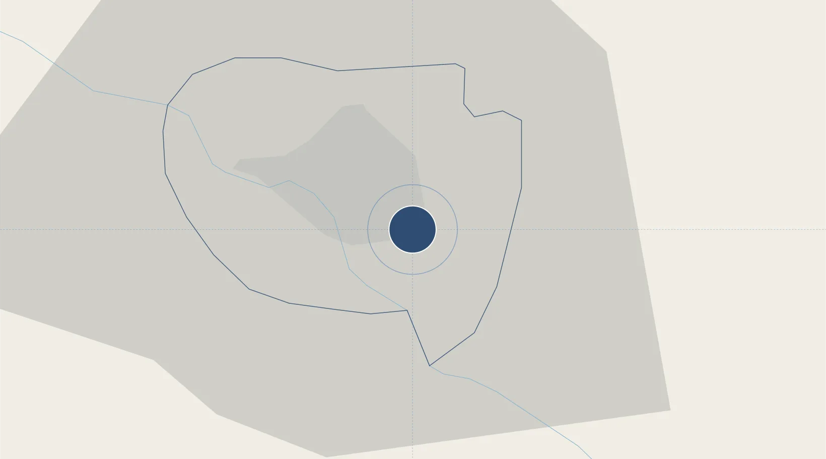
13.4815°, 2.1836°
10,499 ft
Longest runway
2
Runways
732 ft
Elevation

Runway & Layout

Diori Hamani International Airport runway & taxiway layout
Runway & taxiway layout — OpenStreetMap (ODbL) / OurAirports

Radio Frequencies

TWR
119.7 MHz
NIAMEY TWR
ACC
131.3 MHz
NIAMEY CON
INFO
565.2 MHz
NIAMEY INFO
OurAirports

Navaids

NY VOR-DME Niamey 114.10 MHz
OurAirports

Runways · 2

RunwayDimensions SurfaceTrue headingLit
09L/27R 10,499 × 98ft LAT 087°
09R/27L 9,843 × 148ft BITUM 087°
OurAirports

Airport Specifications

IATA code
NIM
OurAirports
ICAO code
DRRN
OurAirports
Airport class
Large airport
OurAirports
Scheduled service
Yes
OurAirports
Runway surface
LAT
OurAirports
Served city
Niamey
OurAirports

Location

Location of DRRN
Natural Earth 10m (public domain) · Niamey · DRRN · 13.48, 2.18GoogleOSMYandex

Nearby Logistics Neighbours

Airports
  1. 1Sir Ahmadu Bello International Airport262 km
  2. 2Sadiq Abubakar III International Airport333 km
  3. 3Tahoua Airport367 km
  4. 4Gao International Airport387 km
  5. 5Ouagadougou Thomas Sankara International Airport420 km
Nearest neighbours — logibook spatial index (haversine) over the source coordinates
Cities
  1. 1Gaya224 km
  2. 2Kebbi315 km
  3. 3Ziniaré390 km
  4. 4Bolgatanga446 km
  5. 5Koudougou512 km
Nearest neighbours — logibook spatial index (haversine) over the source coordinates
Ports
  1. 1Cotonou794 km
  2. 2Lagos799 km
  3. 3Tin Can Island803 km
  4. 4Kpeme813 km
  5. 5Lome823 km
Nearest neighbours — logibook spatial index (haversine) over the source coordinates
Trade Zones
  1. 1Plateau de Bougoum Industrial Zone12 km
  2. 2Dosso Dry Port121 km
  3. 3Kwara Free Trade Zone321 km
  4. 4Gao Industrial Zone388 km
  5. 5Kossodo Industrial Zone414 km
Nearest neighbours — logibook spatial index (haversine) over the source coordinates
DatabookThe Record of Consolidated Knowledge
Niger beyond logistics?
Browse databook

All Sources

AirportsOurAirports
Public domain
Portsthe NGA World Port Index
Public domain (US gov)
LocationsUN/LOCODE
UN/LOCODE — free
Trade Zonesthe World Bank SEZ database
CC BY 4.0
Trade ZonesOpen Zone Map
CC BY
InfrastructureOpenStreetMap
ODbL 1.0
← Niger airports