Export Processing Zone · Niger

Plateau de Bougoum Industrial Zone Under Development
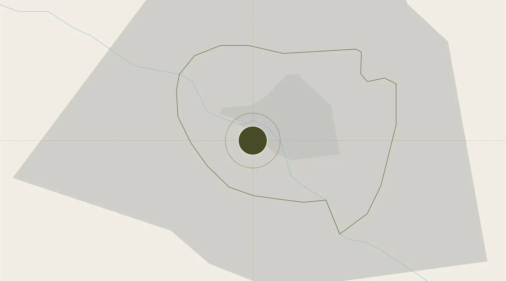
13.4954°, 2.0777°
40 ha
Zone area
795.5 km
Nearest port
11.6 km
Nearest airport

Gateway access

Nearest neighbours — logibook spatial index (haversine) over the source coordinates

Zone profile

Zone type
Export Processing Zone
Open Zone Map
Region
Niamey
Open Zone Map
Status
Under Development
Open Zone Map
Management
Public
Open Zone Map
Operator
Mali Ministry of Industry, Investments & Commerce
Open Zone Map
Legal framework
Law No. 2014-09 on Foreign Investment
Open Zone Map

Location

Location of ozm-2943
Natural Earth 10m (public domain) · Niamey · ozm-2943 · 13.50, 2.08GoogleOSMYandex

Nearby Logistics Neighbours

Ports
  1. 1Cotonou796 km
  2. 2Lagos802 km
  3. 3Tin Can Island807 km
  4. 4Kpeme814 km
  5. 5Lome823 km
Nearest neighbours — logibook spatial index (haversine) over the source coordinates
Airports
  1. 1Diori Hamani International Airport12 km
  2. 2Sir Ahmadu Bello International Airport273 km
  3. 3Sadiq Abubakar III International Airport345 km
  4. 4Tahoua Airport376 km
  5. 5Gao International Airport379 km
Nearest neighbours — logibook spatial index (haversine) over the source coordinates
Cities
  1. 1Gaya232 km
  2. 2Kebbi326 km
  3. 3Ziniaré380 km
  4. 4Bolgatanga438 km
  5. 5Koudougou502 km
Nearest neighbours — logibook spatial index (haversine) over the source coordinates
Trade Zones
  1. 1Dosso Dry Port132 km
  2. 2Kwara Free Trade Zone330 km
  3. 3Gao Industrial Zone380 km
  4. 4Kossodo Industrial Zone404 km
  5. 5Diverse Activities Zone of Ouagadougou409 km
Nearest neighbours — logibook spatial index (haversine) over the source coordinates
DatabookThe Record of Consolidated Knowledge
Niger beyond logistics?
Browse databook

All Sources

Trade ZonesOpen Zone Map
CC BY
Portsthe NGA World Port Index
Public domain (US gov)
AirportsOurAirports
Public domain
LocationsUN/LOCODE
UN/LOCODE — free
← Niger trade zones