Export Processing Zone · Nigeria

Kwara Free Trade Zone Inactive
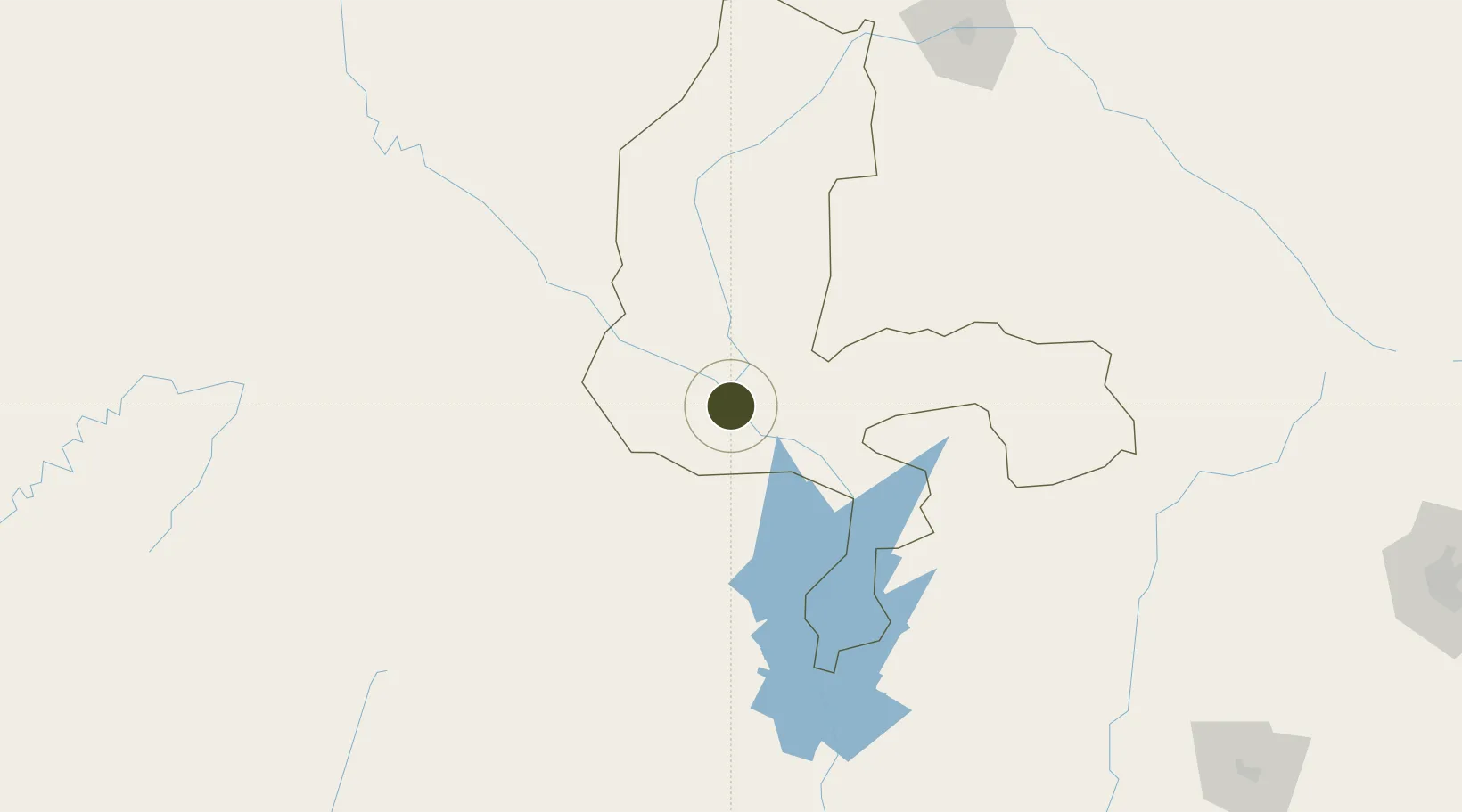
11.3328°, 4.1554°
355 ha
Zone area
554.7 km
Nearest port
129.6 km
Nearest airport

Gateway access

Nearest neighbours — logibook spatial index (haversine) over the source coordinates

Zone profile

Zone type
Export Processing Zone
Open Zone Map
Region
Kebbi
Open Zone Map
Status
Inactive
Open Zone Map
Management
Public
Open Zone Map
Operator
Nigerian Export Processing Zones Authority
Open Zone Map
Legal framework
Section 10 (4) of the Nigeria Export Processing Zones Act No 63 of 1992
Open Zone Map

Location

Location of ozm-2963
Natural Earth 10m (public domain) · Kebbi · ozm-2963 · 11.33, 4.16GoogleOSMYandex

Nearby Logistics Neighbours

Ports
  1. 1Lagos555 km
  2. 2Tin Can Island561 km
  3. 3Cotonou586 km
  4. 4Koko610 km
  5. 5Sapele627 km
Nearest neighbours — logibook spatial index (haversine) over the source coordinates
Airports
  1. 1Sir Ahmadu Bello International Airport130 km
  2. 2Sadiq Abubakar III International Airport210 km
  3. 3Tourou International Airport281 km
  4. 4Gusau Airport292 km
  5. 5Minna Airport314 km
Nearest neighbours — logibook spatial index (haversine) over the source coordinates
Cities
  1. 1Gaya100 km
  2. 2Kebbi108 km
  3. 3Ogudu285 km
  4. 4Ogidi315 km
  5. 5Balogun383 km
Nearest neighbours — logibook spatial index (haversine) over the source coordinates
Trade Zones
  1. 1Dosso Dry Port214 km
  2. 2Plateau de Bougoum Industrial Zone330 km
  3. 3Living Spring Free Trade Zone395 km
  4. 4Maradi Free Zone400 km
  5. 5Centenary City433 km
Nearest neighbours — logibook spatial index (haversine) over the source coordinates
DatabookThe Record of Consolidated Knowledge
Nigeria beyond logistics?
Browse databook

All Sources

Trade ZonesOpen Zone Map
CC BY
Portsthe NGA World Port Index
Public domain (US gov)
AirportsOurAirports
Public domain
LocationsUN/LOCODE
UN/LOCODE — free
← Nigeria trade zones