Large airport · Nigeria

Sir Ahmadu Bello International AirportNG-0005
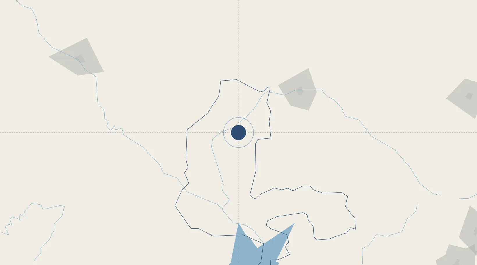
12.4790°, 4.3691°
10,171 ft
Longest runway
1
Runways
775 ft
Elevation

Runway & Layout

Sir Ahmadu Bello International Airport runway & taxiway layout
Runway & taxiway layout — OpenStreetMap (ODbL) / OurAirports

Runways · 1

RunwayDimensions SurfaceTrue headingLit
06/24 10,171 × 197ft concrete 061°
OurAirports

Airport Specifications

ICAO code
DNBK
OurAirports
Airport class
Large airport
OurAirports
Scheduled service
Yes
OurAirports
Runway surface
concrete
OurAirports
Served city
Birinin Kebbi
OurAirports

Location

Location of NG-0005
Natural Earth 10m (public domain) · Kebbi · NG-0005 · 12.48, 4.37GoogleOSMYandex

Nearby Logistics Neighbours

Airports
  1. 1Sadiq Abubakar III International Airport103 km
  2. 2Gusau Airport255 km
  3. 3Diori Hamani International Airport262 km
  4. 4Tahoua Airport284 km
  5. 5Maradi Airport320 km
Nearest neighbours — logibook spatial index (haversine) over the source coordinates
Cities
  1. 1Kebbi57 km
  2. 2Gaya121 km
  3. 3Katsina353 km
  4. 4Zamfarawa386 km
  5. 5Ogudu398 km
Nearest neighbours — logibook spatial index (haversine) over the source coordinates
Ports
  1. 1Lagos684 km
  2. 2Tin Can Island691 km
  3. 3Cotonou714 km
  4. 4Koko730 km
  5. 5Sapele746 km
Nearest neighbours — logibook spatial index (haversine) over the source coordinates
Trade Zones
  1. 1Kwara Free Trade Zone130 km
  2. 2Dosso Dry Port141 km
  3. 3Plateau de Bougoum Industrial Zone273 km
  4. 4Maradi Free Zone318 km
  5. 5Kano Free Trade Zone456 km
Nearest neighbours — logibook spatial index (haversine) over the source coordinates
DatabookThe Record of Consolidated Knowledge
Nigeria beyond logistics?
Browse databook

All Sources

AirportsOurAirports
Public domain
Portsthe NGA World Port Index
Public domain (US gov)
LocationsUN/LOCODE
UN/LOCODE — free
Trade Zonesthe World Bank SEZ database
CC BY 4.0
Trade ZonesOpen Zone Map
CC BY
InfrastructureOpenStreetMap
ODbL 1.0
← Nigeria airports